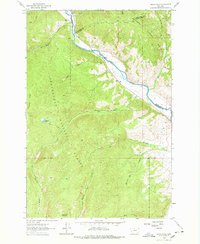
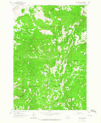
1962 Map of Dickie Hills
USGS Topo · Published 1978About this map
The Big Hole River winds through the northern portion of this landscape, serving as a vital corridor for transportation and water at the intersection of several Montana counties. The terrain is characterized by the prominent Dickie Hills and high points like Round Top Mountain, all situated within the sprawling Beaverhead National Forest. This 1962 field-checked survey reveals the mid-century cattle and ranching footprint of the region, specifically marking the Davis Ranch and Glauser Ranch alongside the small community of Dickie.
Find a feature on this map
30 named features on this map. Tap any name to fly to it.
Don’t see what you’re looking for? This feature index may not catch every label — zoom into the map to look around manually.
Map Details
Editions of this 1962 Dickie Hills Map
4 editions found
Other maps of this area

1893 · Dillon
USGS Topo · 1:250,000

1955 · Dillon
USGS Topo · 1:250,000

1957 · Dillon
USGS Topo · 1:250,000

1958 · Dillon
USGS Topo · 1:250,000

1958 · Vipond Park
USGS Topo · 1:62,500
1961 · Dickie Peak
USGS Topo · 1:24,000

1961 · Wise River
USGS Topo · 1:24,000

1962 · Dillon
USGS Topo · 1:250,000

1962 · Lincoln Gulch
USGS Topo · 1:24,000

1962 · Lower Seymour Lake
USGS Topo · 1:24,000