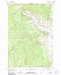
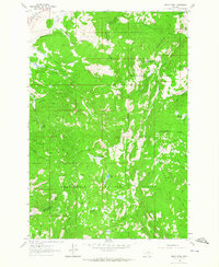
1962 Map of Dickie Hills
USGS Topo · Published 1989About this map
Big Hole River carves a path through the northern landscape, serving as a historic boundary between Beaverhead, Deer Lodge, and Silver Bow counties. The area is characterized by high-elevation terrain including Dickie Hills and Round Top Mountain, with much of the territory protected as part of the Beaverhead National Forest. This 1962 survey, with revisions updated through the mid-1980s, captures the remote ranching and mining character of this Montana mountain range.
Find a feature on this map
29 named features on this map. Tap any name to fly to it.
Don’t see what you’re looking for? This feature index may not catch every label — zoom into the map to look around manually.
Map Details
Editions of this 1962 Dickie Hills Map
4 editions found
Other maps of this area

1893 · Dillon
USGS Topo · 1:250,000

1955 · Dillon
USGS Topo · 1:250,000

1957 · Dillon
USGS Topo · 1:250,000

1958 · Dillon
USGS Topo · 1:250,000

1958 · Vipond Park
USGS Topo · 1:62,500
1961 · Dickie Peak
USGS Topo · 1:24,000

1961 · Wise River
USGS Topo · 1:24,000

1962 · Dillon
USGS Topo · 1:250,000

1962 · Lincoln Gulch
USGS Topo · 1:24,000

1962 · Lower Seymour Lake
USGS Topo · 1:24,000