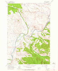
1962 Map of Proposal Rock
USGS Topo · Published 1964About this map
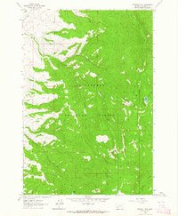
Beaverhead National Forest covers this high-altitude landscape in Beaverhead County, defined by its complex network of mountain drainages and high-country landmarks. The prominence of Proposal Rock stands as a focal point in the southwest, while the drainages of North Fork, Middle Fork, and South Fork converge to shape the central topography. This 1962 field-checked survey highlights a backcountry accessible only by limited infrastructure, featuring a Jeep Trail and several Pack Trails that navigate between the peaks. The hydrological character of the region is further marked by high-elevation water bodies like Stone Lake and Lily Lake, alongside numerous named streams such as Doolittle Creek and McVey Creek. These features illustrate the timbered and water-rich environment of the Montana wilderness before modern development significantly altered access to these remote forest sections.
Find a feature on this map
15 named features on this map. Tap any name to fly to it.
Don’t see what you’re looking for? This feature index may not catch every label — zoom into the map to look around manually.
Map Details
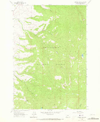
Editions of this 1962 Proposal Rock Map
2 editions found
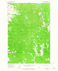
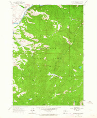
Other maps of this area

1955 · Dillon
USGS Topo · 1:250,000

1957 · Dillon
USGS Topo · 1:250,000

1958 · Dillon
USGS Topo · 1:250,000

1962 · Dillon
USGS Topo · 1:250,000
1962 · Wisdom
USGS Topo · 1:24,000
1962 · Mud Lake
USGS Topo · 1:24,000
1962 · Pine Hill
USGS Topo · 1:24,000
1962 · Stewart Mountain
USGS Topo · 1:24,000
1962 · Foolhen Mountain
USGS Topo · 1:24,000
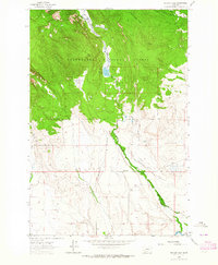
1962 · Pintlar Lake
USGS Topo · 1:24,000