
1962 Map of Mud Lake
USGS Topo · Published 1964About this map
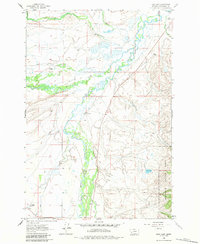
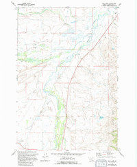
The confluence of the Big Hole River and its major tributaries dominates this corner of Beaverhead County, defining a landscape of high-altitude ranching and homesteading. At the time of this 1962 field check, the valley floor was characterized by extensive wet meadows and irrigation patterns, evidenced by the intricate meandering of Steel Creek, Plimpton Creek, and the North Fork Big Hole River. Local genealogy is anchored by several specific family landholdings, including the Mussigbrod Homestead, Mc Vey Homestead, and the Rutledge Ranch. These sites, along with the Wisdom Cem, provide a precise record of early 20th-century settlement in this remote basin. The eastern portion of the sheet rises into the timbered slopes of the Beaverhead National Forest, while the namesake Mud Lake sits quietly on the terrace above the river bottomlands.
Find a feature on this map
20 named features on this map. Tap any name to fly to it.
Don’t see what you’re looking for? This feature index may not catch every label — zoom into the map to look around manually.
Map Details
Editions of this 1962 Mud Lake Map
3 editions found
Other maps of this area

1955 · Dillon
USGS Topo · 1:250,000

1957 · Dillon
USGS Topo · 1:250,000

1958 · Dillon
USGS Topo · 1:250,000

1962 · Dillon
USGS Topo · 1:250,000

1962 · Wisdom
USGS Topo · 1:24,000

1962 · Pine Hill
USGS Topo · 1:24,000

1962 · Stewart Mountain
USGS Topo · 1:24,000

1962 · Pintlar Lake
USGS Topo · 1:24,000

1962 · Proposal Rock
USGS Topo · 1:24,000

1965 · Dillon
USGS Topo · 1:250,000