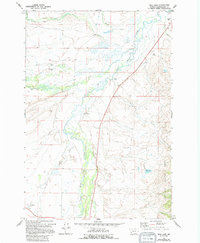
1962 Map of Mud Lake
USGS Topo · Published 1994About this map
The Big Hole Valley in Beaverhead County is defined by its sprawling ranching history and the intricate, meandering path of the Big Hole River. This 1962 aerial-based survey documents a landscape dominated by historic homesteads and family-named cattle operations, such as the Mussigbrod Homestead and Mc Vey Homestead, situated near the foot of the Beaverhead National Forest. The presence of the Wisdom Cem and scattered Gravel Pits alongside Highway 43 illustrates the practical infrastructure supporting this high-elevation agricultural community.
Find a feature on this map
22 named features on this map. Tap any name to fly to it.
Don’t see what you’re looking for? This feature index may not catch every label — zoom into the map to look around manually.
Map Details
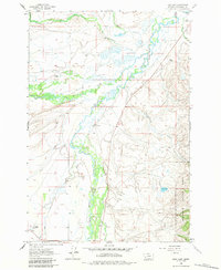
Editions of this 1962 Mud Lake Map
3 editions found
Other maps of this area

1955 · Dillon
USGS Topo · 1:250,000

1957 · Dillon
USGS Topo · 1:250,000

1958 · Dillon
USGS Topo · 1:250,000

1962 · Dillon
USGS Topo · 1:250,000

1962 · Wisdom
USGS Topo · 1:24,000

1962 · Mud Lake
USGS Topo · 1:24,000

1962 · Pine Hill
USGS Topo · 1:24,000

1962 · Stewart Mountain
USGS Topo · 1:24,000

1962 · Pintlar Lake
USGS Topo · 1:24,000

1962 · Proposal Rock
USGS Topo · 1:24,000