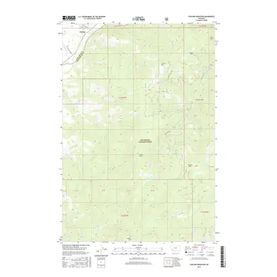
2017 Map of Foolhen Mountain
USGS Topo · Published 2017About this map
Fishtrap and the Big Hole River anchor the northwest corner of this terrain, where the boundary between Deer Lodge Co and Beaverhead Co follows the river's winding course. Much of the landscape is defined by the high elevations of the Beaverhead National Forest, rising toward the prominent summit of Foolhen Mtn and the adjacent Foolhen Ridge. The map details a network of forest service roads including Calvert Creek Rd and Bryant Creek Rd, which provide access to remote high-country features such as Trident Peak and the alpine waters of Ferguson Lake. This 2017 survey reveals a classic Montana mountain geography where seasonal drainage systems like Sawlog Cr and Tucker Cr carve through the timbered slopes, creating distinctive landmarks such as Moose Park and Trident Meadows that have likely served as orientation points for generations of outdoorsmen.
Find a feature on this map
46 named features on this map. Tap any name to fly to it.
Don’t see what you’re looking for? This feature index may not catch every label — zoom into the map to look around manually.
Map Details
Editions of this 2017 Foolhen Mountain Map
This is the sole edition of this map. No revisions or reprints were ever made.
Other maps of this area

1955 · Dillon
USGS Topo · 1:250,000

1957 · Dillon
USGS Topo · 1:250,000

1958 · Dillon
USGS Topo · 1:250,000

1962 · Dillon
USGS Topo · 1:250,000

1962 · Lincoln Gulch
USGS Topo · 1:24,000

1962 · Lower Seymour Lake
USGS Topo · 1:24,000

1962 · Pine Hill
USGS Topo · 1:24,000
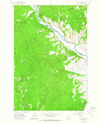
1962 · Dickie Hills
USGS Topo · 1:24,000
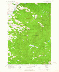
1962 · Foolhen Mountain
USGS Topo · 1:24,000

1962 · Proposal Rock
USGS Topo · 1:24,000