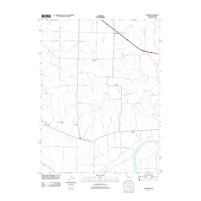
2011 Map of Forbes
USGS Topo · Published 2011About this map
Forbes and Richville anchor this corner of Holt County, where the sprawling bottomlands of the Missouri River meet the rising bluffs of northwest Missouri. The landscape is defined by a dense network of drainage, including the Nodaway River at the eastern edge and numerous tributaries like Forbes Creek, Easter Creek, and Whales Creek that carve through the local topography. This 2011 survey documents a rural environment centered on family legacy and agricultural utility, evidenced by the cluster of local burial grounds such as Brodback Cemetery, Highland Cemetery, and Forbes Cemetery. Man-made modifications to the natural water system are visible at the Frank Milne Dam and Milne Lake, while the Mark Twain Air Strip provides a small aviation footprint amidst the fields. Low-lying areas like Barrett Hollow and Hicks Hollow demonstrate the varied elevation that characterizes the region just north of the river's wide floodplain.
Find a feature on this map
67 named features on this map. Tap any name to fly to it.
Don’t see what you’re looking for? This feature index may not catch every label — zoom into the map to look around manually.
Map Details
Editions of this 2011 Forbes Map
This is the sole edition of this map. No revisions or reprints were ever made.
Other maps of this area

1885 · Atchison
USGS Topo · 1:125,000

1888 · Atchison
USGS Topo · 1:125,000

1893 · Atchison
USGS Topo · 1:125,000

1924 · St. Joseph
USGS Topo · 1:62,500

1926 · Saint Joseph
USGS Topo · 1:62,500

1926 · Oregon
USGS Topo · 1:62,500

1926 · Maitland
USGS Topo · 1:62,500

1927 · Bolckow
USGS Topo · 1:62,500

1945 · Bolckow
USGS Topo · 1:62,500

1950 · Kansas City
USGS Topo · 1:250,000