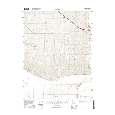
2015 Map of Forbes
USGS Topo · Published 2015About this map
The Missouri River floodplain and its carved bluffs define this portion of the Missouri-Kansas border, where the state line follows the river's winding course. This landscape is characterized by the expansive Burr Oak Bottom in the south, a low-lying area historically prone to the shifting moods of the river. To the north, the terrain rises into dissected loess hills, marked by deep drainages like Barrett Hollow and Hicks Hollow. These uplands contain a network of small family and community burial grounds, including Brodback Cemetery, Highland Cemetery, and Forbes Cemetery.
Find a feature on this map
48 named features on this map. Tap any name to fly to it.
Don’t see what you’re looking for? This feature index may not catch every label — zoom into the map to look around manually.
Map Details
Editions of this 2015 Forbes Map
This is the sole edition of this map. No revisions or reprints were ever made.
Other maps of this area

1885 · Atchison
USGS Topo · 1:125,000

1888 · Atchison
USGS Topo · 1:125,000

1893 · Atchison
USGS Topo · 1:125,000

1924 · St. Joseph
USGS Topo · 1:62,500

1926 · Saint Joseph
USGS Topo · 1:62,500

1926 · Oregon
USGS Topo · 1:62,500

1926 · Maitland
USGS Topo · 1:62,500

1927 · Bolckow
USGS Topo · 1:62,500

1945 · Bolckow
USGS Topo · 1:62,500

1950 · Kansas City
USGS Topo · 1:250,000