
1945 Map of Forbes Island
USGS Topo · Published 1945About this map
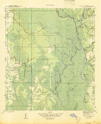
The Apalachicola River corridor serves as the primary artery through this wet, alluvial landscape, defined by a labyrinth of secondary waterways and low-lying islands. While the river itself flows along the eastern margin, its influence extends westward through the Brothers River and intricate cuts like the Brickyard Cut off. This mid-century survey reveals a working river economy characterized by numerous private and commercial landings such as Willis Landing, Brickyard Landing, and Smith Creek Landing. Inland, the terrain transitions into the dense Indian Swamp, where human activity is marked by seasonal or industrial outposts like Lister Camp and Kenny Camp. The eastern bank is dominated by the Apalachicola National Forest, preserving a primitive landscape of creeks like Poplar Br and Fort Gadsden Creek before they reach the main channel.
Find a feature on this map
36 named features on this map. Tap any name to fly to it.
Don’t see what you’re looking for? This feature index may not catch every label — zoom into the map to look around manually.
Map Details
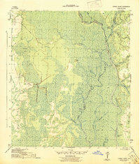
Editions of this 1945 Forbes Island Map
3 editions found
Other maps of this area

1943 · Jackson River
USGS Topo · 1:24,000

1944 · White City
USGS Topo · 1:24,000

1944 · Forbes Island
USGS Topo · 1:24,000

1945 · Lake Wimico
USGS Topo · 1:31,680

1945 · Kennedy Creek
USGS Topo · 1:31,680

1945 · White City
USGS Topo · 1:31,680

1945 · Beverly
USGS Topo · 1:31,680

1945 · Wewahitchka
USGS Topo · 1:31,680

1945 · Jackson River
USGS Topo · 1:31,680

1945 · Fort Gadsden
USGS Topo · 1:31,680