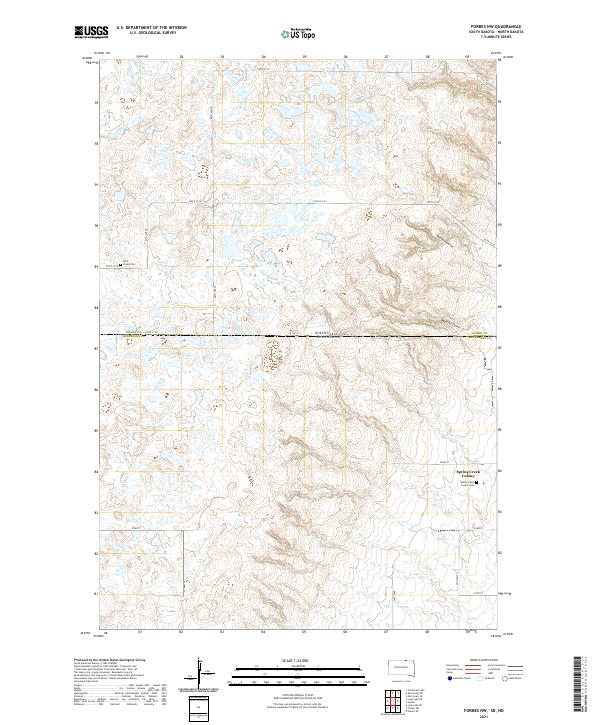
2021 Map of Forbes NW
USGS Topo · Published 2021About this map
The Spring Creek Colony area sits along the border of North Dakota and South Dakota, where the landscape is defined by the high density of prairie potholes and small depressions. This 2021 topographic survey provides a detailed view of the rural settlement patterns in McPherson County, notably the communal infrastructure of the colony including the Spring Creek Colony Cemetery and its proximity to County Highway 21. To the north, the terrain transitions into the drainage features of Webers Gulch and Hoevens Gulch, which disrupt the otherwise orderly section-line road grid of 100th St SE and 102nd St SE. Genealogists and local historians can find specific markers of the region's spiritual and community heritage at Saint Peters Cemetery near the western edge of the quadrangle.
Find a feature on this map
25 named features on this map. Tap any name to fly to it.
Don’t see what you’re looking for? This feature index may not catch every label — zoom into the map to look around manually.
Map Details
Editions of this 2021 Forbes NW Map
This is the sole edition of this map. No revisions or reprints were ever made.
Other maps of this area

1896 · Edgeley
USGS Topo · 1:125,000

1899 · Ellendale
USGS Topo · 1:125,000

1925 · Edgeley
USGS Topo · 1:125,000

1953 · Jamestown
USGS Topo · 1:250,000

1954 · Aberdeen
USGS Topo · 1:250,000

1956 · Aberdeen
USGS Topo · 1:250,000

1956 · Jamestown
USGS Topo · 1:250,000

1968 · Long Lake SE
USGS Topo · 1:24,000

1968 · Forbes
USGS Topo · 1:24,000

1968 · Long Lake NE
USGS Topo · 1:24,000
Featured Places
- Spring Creek Hutterite Colony, SD
- Albertha Township, ND
- Lorraine Township, ND
- Dickey County, ND
- McPherson County, SD