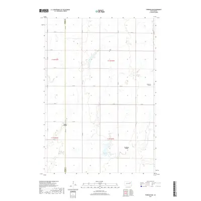
2017 Map of Fordham Dam
USGS Topo · Published 2017About this map
Clark Colony and Fordham Colony anchor this rural landscape in eastern South Dakota, where the agricultural grid meets the distinct geological rise of the Coteau des Prairies. The terrain is defined by the winding course of Foster Cr, which feeds into the water management structures of Logan Dam and Fordham Dam. This 2017 survey illustrates the persistent township and range system along the border of Spink and Clark Counties, showing a high density of section roads such as 411th Ave and 174th St. Local history is preserved at the Logan Cem, located near the northern reaches of the creek. The map captures a moment of modern rural life, where communal agricultural colonies and small-scale infrastructure remain central to the region’s identity.
Find a feature on this map
28 named features on this map. Tap any name to fly to it.
Don’t see what you’re looking for? This feature index may not catch every label — zoom into the map to look around manually.
Map Details
Editions of this 2017 Fordham Dam Map
This is the sole edition of this map. No revisions or reprints were ever made.
Other maps of this area

1895 · Byron
USGS Topo · 1:125,000

1953 · Huron
USGS Topo · 1:250,000

1953 · Watertown
USGS Topo · 1:250,000

1954 · Huron
USGS Topo · 1:250,000

1958 · Watertown
USGS Topo · 1:250,000
1971 · Doland
USGS Topo · 1:24,000
1971 · Doland SE
USGS Topo · 1:24,000
1971 · Bloomfield
USGS Topo · 1:25,000
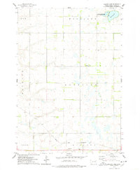
1973 · Baileys Lake
USGS Topo · 1:24,000
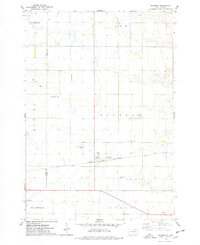
1973 · Raymond
USGS Topo · 1:24,000
Featured Places
- Capitola Township, SD
- Richfield Township, SD
- Clark Hutterite Colony, SD
- Fordham Hutterite Colony, SD
- Spink County, SD