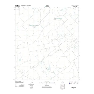
2010 Map of Fordtran
USGS Topo · Published 2010About this map
The small community of Fordtran serves as the focal point for this rural landscape in Victoria County, characterized by a mix of ranching operations and petroleum extraction. The importance of livestock management is evident through large-scale water projects such as Musselman Cattle Company Lake Number 1 and its counterpart Lake Number 2, both controlled by dedicated dams. The drainage network is complex, with South Chicolete Creek and Garcitas Creek meandering through the territory, supported by other local waterways like Price Creek and Haines Flat Creek. The industrial footprint of the region is marked by the Barry Oil Field and the Helen Gohlke Oil Field, while the local transportation and educational history are preserved in names like Garrett-Gonzales School Rd, connecting the scattered homesteads and ranches.
Find a feature on this map
25 named features on this map. Tap any name to fly to it.
Don’t see what you’re looking for? This feature index may not catch every label — zoom into the map to look around manually.
Map Details
Editions of this 2010 Fordtran Map
This is the sole edition of this map. No revisions or reprints were ever made.
Other maps of this area

1951 · Inez NW
USGS Topo · 1:24,000

1953 · Beeville
USGS Topo · 1:250,000

1953 · Seguin
USGS Topo · 1:250,000

1956 · Beeville
USGS Topo · 1:250,000

1958 · Seguin
USGS Topo · 1:250,000

1960 · Beeville
USGS Topo · 1:250,000

1962 · Verhelle
USGS Topo · 1:24,000

1962 · Edgar
USGS Topo · 1:24,000

1962 · Terryville
USGS Topo · 1:24,000

1963 · Fordtran
USGS Topo · 1:24,000