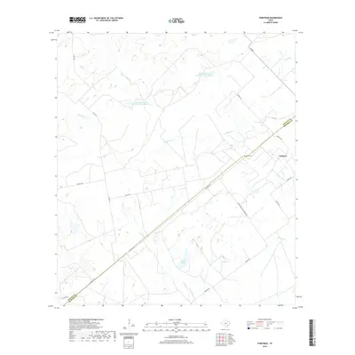
2019 Map of Fordtran
USGS Topo · Published 2019About this map
Fordtran serves as the central settlement point in this coastal plain landscape where Victoria and DeWitt counties meet. The area is defined by a dendritic network of creek systems, including S Chicolete Cr, Garcitas Cr, and Arenosa Cr, which drain the low-relief terrain. Ranching and land management footprints are clearly visible through features like Musselman Cattle Company Lake Number 1 and its counterpart, Musselman Cattle Company Lake Number 2.
Find a feature on this map
23 named features on this map. Tap any name to fly to it.
Don’t see what you’re looking for? This feature index may not catch every label — zoom into the map to look around manually.
Map Details
Editions of this 2019 Fordtran Map
This is the sole edition of this map. No revisions or reprints were ever made.
Other maps of this area

1951 · Inez NW
USGS Topo · 1:24,000

1953 · Beeville
USGS Topo · 1:250,000

1953 · Seguin
USGS Topo · 1:250,000

1956 · Beeville
USGS Topo · 1:250,000

1958 · Seguin
USGS Topo · 1:250,000

1960 · Beeville
USGS Topo · 1:250,000

1962 · Verhelle
USGS Topo · 1:24,000

1962 · Edgar
USGS Topo · 1:24,000

1962 · Terryville
USGS Topo · 1:24,000

1963 · Fordtran
USGS Topo · 1:24,000