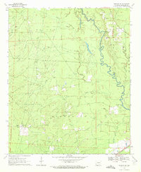
1970 Map of Fordyce NE
USGS Topo · Published 1972About this map
The Saline River snakes through the bottomlands of Cleveland County, defining a landscape shaped by river transport and early timber resources. Rural life in the 1970s centered around small congregational hubs such as Crossroads Ch, Como Ch, and Camp Springs Ch. The river was once a primary corridor for movement, evidenced by historic river crossings like Channings Ferry and the Canoe Landing near the White Oak boundary.
Find a feature on this map
30 named features on this map. Tap any name to fly to it.
Don’t see what you’re looking for? This feature index may not catch every label — zoom into the map to look around manually.
Map Details
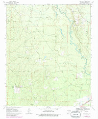
Editions of this 1970 Fordyce NE Map
2 editions found
Other maps of this area

1953 · El Dorado
USGS Topo · 1:250,000

1955 · Little Rock
USGS Topo · 1:250,000

1956 · Little Rock
USGS Topo · 1:250,000

1957 · El Dorado
USGS Topo · 1:250,000

1958 · El Dorado
USGS Topo · 1:250,000

1960 · El Dorado
USGS Topo · 1:250,000

1960 · Little Rock
USGS Topo · 1:250,000

1962 · Kedron
USGS Topo · 1:24,000

1964 · Little Rock
USGS Topo · 1:250,000

1964 · Staves
USGS Topo · 1:24,000