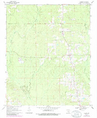
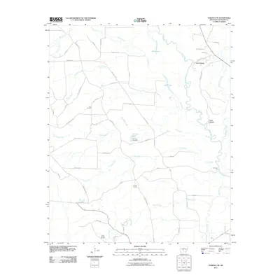
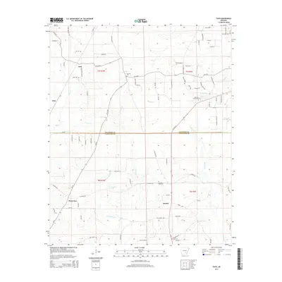
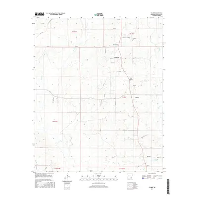
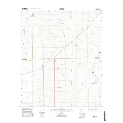
1970 Map of Fordyce NE
USGS Topo · Published 1985About this map
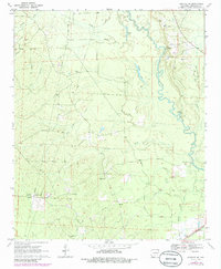
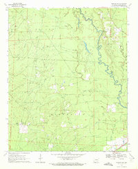
The Saline River winds through the eastern portion of this Arkansas landscape, creating a drainage basin fed by numerous tributaries including Grisly Creek, Finley Creek, and Gooley Creek. Along the riverbanks, river-crossings like Channings Ferry and the Canoe Landing indicate the historical importance of the waterway for local transport. The interior is dotted with rural community anchors such as Crossroads Ch, Rainbow Tabernacle, and Camp Springs Ch. Several family and community burial grounds, including Grace Cem, Seymore Cem, and Gum Grove Cem, are distributed near the winding roads and a central north-south Pipeline. In the southeast corner, the St Louis Southwestern railroad cuts across the terrain, reflecting the industrial connectivity of the era. The presence of numerous Gravel Pits and a Pumping Station further point to a mid-century economy based on resource extraction and utility infrastructure.
Find a feature on this map
24 named features on this map. Tap any name to fly to it.
Don’t see what you’re looking for? This feature index may not catch every label — zoom into the map to look around manually.
Map Details
Editions of this 1970 Fordyce NE Map
2 editions found
Historical Maps of Kingsland Through Time
30 maps found
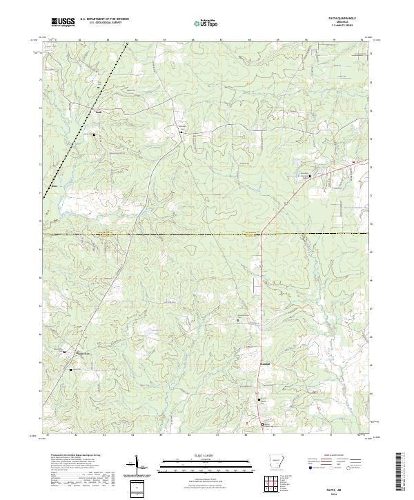
1962 Faith
Cleveland County, AR
1962 Kedron
Cleveland County, AR
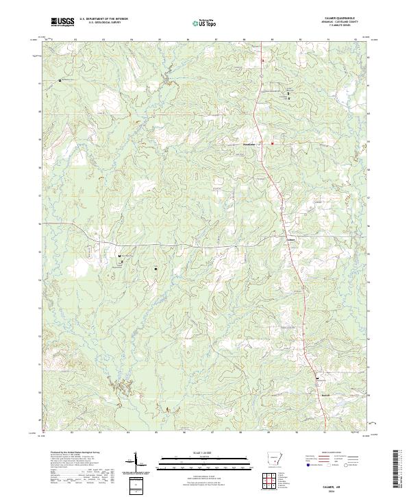
1970 Calmer
Cleveland County, AR
1970 Fordyce NE
Cleveland County, AR
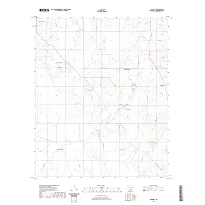
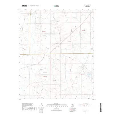
1970 Herbine
Cleveland County, AR
2011 Calmer
Cleveland County, AR
2011 Faith
Cleveland County, AR
2011 Fordyce NE
Cleveland County, AR
2011 Herbine
Cleveland County, AR
2011 Kedron
Cleveland County, AR
2014 Calmer
Cleveland County, AR
2014 Faith
Cleveland County, AR
2014 Fordyce NE
Cleveland County, AR
2014 Herbine
Cleveland County, AR
2014 Kedron
Cleveland County, AR
2017 Calmer
Cleveland County, AR
2017 Faith
Cleveland County, AR
2017 Fordyce NE
Cleveland County, AR
2017 Herbine
Cleveland County, AR
2017 Kedron
Cleveland County, AR
2020 Calmer
Cleveland County, AR
2020 Faith
Cleveland County, AR
2020 Fordyce NE
Cleveland County, AR
2020 Herbine
Cleveland County, AR
2020 Kedron
Cleveland County, AR
2024 Calmer
Cleveland County, AR
2024 Faith
Cleveland County, AR

2024 Fordyce NE
Cleveland County, AR
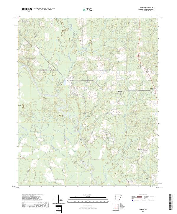
2024 Herbine
Cleveland County, AR
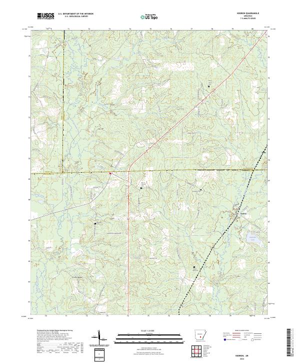
2024 Kedron
Cleveland County, AR