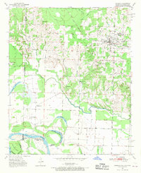
1951 Map of Foreman
USGS Topo · Published 1970About this map
The borderlands of Arkansas, Oklahoma, and Texas converge along the winding course of the Red River in this mid-century survey. The town of Foreman (New Rocky Comfort) stands as the primary rail hub, situated where the St Louis San Francisco railroad tracks cross the Arkansas interior. The landscape transition from the higher elevations of Vinegar Hill and Lime Rock Hill down toward the alluvial bottomlands is marked by numerous bayous and oxbow lakes, such as Old River Lake and Hamilton Lake.
Find a feature on this map
46 named features on this map. Tap any name to fly to it.
Don’t see what you’re looking for? This feature index may not catch every label — zoom into the map to look around manually.
Map Details
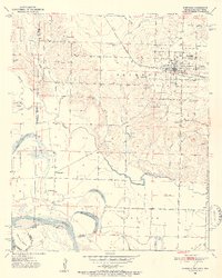
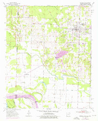
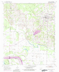
Editions of this 1951 Foreman Map
5 editions found

Other maps of this area

1950 · Redbank
USGS Topo · 1:24,000

1950 · Tom
USGS Topo · 1:24,000

1950 · De Kalb
USGS Topo · 1:24,000

1950 · Winthrop
USGS Topo · 1:24,000

1950 · Bokhoma
USGS Topo · 1:24,000

1951 · De Kalb
USGS Topo · 1:24,000

1951 · Winthrop
USGS Topo · 1:24,000

1951 · Tom
USGS Topo · 1:24,000

1951 · Bokhoma
USGS Topo · 1:24,000

1951 · Redbank
USGS Topo · 1:24,000