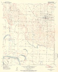
1951 Map of Foreman
USGS Topo · Published 1952About this map
The borderlands of Arkansas, Oklahoma, and Texas converge along the winding course of the Red River, where the 1951 landscape reveals a deep network of rural communities and river-fed agriculture. At the center of the regional activity sits Foreman (New Rocky Comfort), a transit hub served by the ST Louis San Francisco railroad. The map documents the shifting hydrology of the river basin, featuring oxbows like Old River Lake and Hamilton Lake alongside the seasonal drainage of Walnut Bayou. Local social centers are densely scattered across the townships of Jackson and Richland, identified by small rural landmarks such as Matteson Gin and Lanesport. For genealogists, the map is particularly valuable for its precise locations of family-named sites and religious meeting houses, including Hopson Cem, Dollahide Cem, and Bright Star Ch.
Find a feature on this map
43 named features on this map. Tap any name to fly to it.
Don’t see what you’re looking for? This feature index may not catch every label — zoom into the map to look around manually.
Map Details
Editions of this 1951 Foreman Map
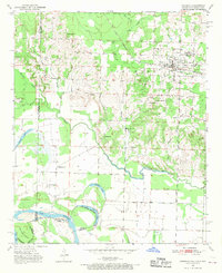
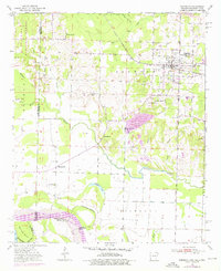
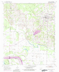
5 editions found

Other maps of this area

1950 · Redbank
USGS Topo · 1:24,000

1950 · Tom
USGS Topo · 1:24,000

1950 · De Kalb
USGS Topo · 1:24,000

1950 · Winthrop
USGS Topo · 1:24,000

1950 · Bokhoma
USGS Topo · 1:24,000

1951 · De Kalb
USGS Topo · 1:24,000

1951 · Winthrop
USGS Topo · 1:24,000

1951 · Tom
USGS Topo · 1:24,000

1951 · Bokhoma
USGS Topo · 1:24,000

1951 · Redbank
USGS Topo · 1:24,000