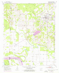
1951 Map of Foreman
USGS Topo · Published 1976About this map
Foreman (New Rocky Comfort) serves as a primary hub for this tri-state border region, where the industrial presence of the ST Louis San Francisco railroad and several Gravel Pits meet the agricultural bottomlands. The landscape transitions from the wooded reaches of the Ouachita National Forest in the northwest toward the fertile oxbows and bends of the Red River and Little River to the south.
Find a feature on this map
45 named features on this map. Tap any name to fly to it.
Don’t see what you’re looking for? This feature index may not catch every label — zoom into the map to look around manually.
Map Details
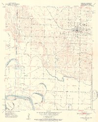
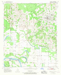
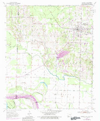
Editions of this 1951 Foreman Map
5 editions found

Other maps of this area

1950 · Redbank
USGS Topo · 1:24,000

1950 · Tom
USGS Topo · 1:24,000

1950 · De Kalb
USGS Topo · 1:24,000

1950 · Winthrop
USGS Topo · 1:24,000

1950 · Bokhoma
USGS Topo · 1:24,000

1951 · De Kalb
USGS Topo · 1:24,000

1951 · Winthrop
USGS Topo · 1:24,000

1951 · Tom
USGS Topo · 1:24,000

1951 · Bokhoma
USGS Topo · 1:24,000

1951 · Redbank
USGS Topo · 1:24,000