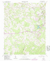
1965 Map of Forest
USGS Topo · Published 1986About this map
New London Academy stands as a focal point in this region along the Bedford and Campbell County line, reflecting a landscape defined by education and religious community. The map details a transition from the historic Poplar Forest and New London areas toward growing residential clusters like Timberlake. This mid-1960s perspective captures a unique combination of rural heritage and modern recreation, evidenced by the New London Drag Strip and Airport and a Rodeo Arena situated among several active quarries. Transport infrastructure is anchored by the Norfolk and Western and Southern railroads, which parallel the watercourses of Elk Creek and Buffalo Creek. The high concentration of local houses of worship, such as St Pauls Ch and Pisgah Ch, provides essential points of reference for genealogists tracking family ties in the Virginia Piedmont.
Find a feature on this map
29 named features on this map. Tap any name to fly to it.
Don’t see what you’re looking for? This feature index may not catch every label — zoom into the map to look around manually.
Map Details
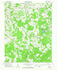
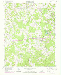
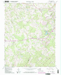
Editions of this 1965 Forest Map
4 editions found
Other maps of this area

1892 · Lynchburg
USGS Topo · 1:125,000

1944 · Lynchburg
USGS Topo · 1:62,500

1947 · Roanoke
USGS Topo · 1:250,000

1950 · Goode
USGS Topo · 1:62,500

1950 · Lynchburg
USGS Topo · 1:62,500

1951 · Altavista
USGS Topo · 1:62,500

1956 · Gladys
USGS Topo · 1:62,500

1959 · Roanoke
USGS Topo · 1:250,000

1963 · Roanoke
USGS Topo · 1:250,000

1963 · City Farm
USGS Topo · 1:24,000