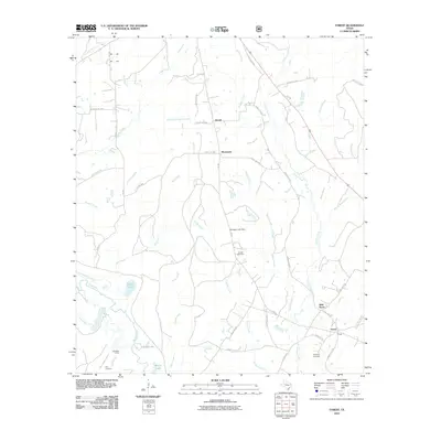
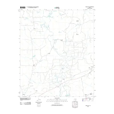
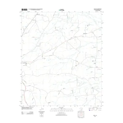
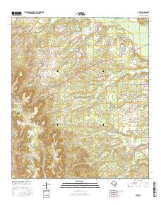
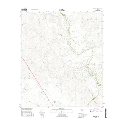
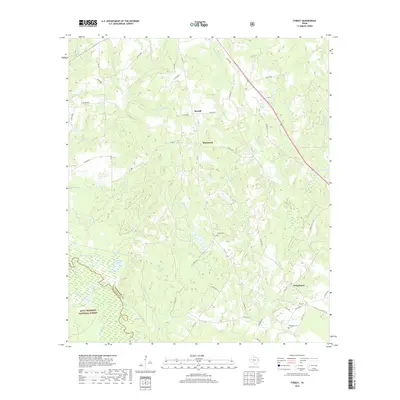
1973 Map of Forest
USGS Topo · Published 1976About this map
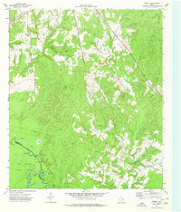
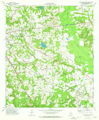
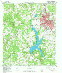
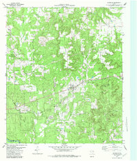
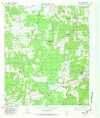
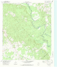
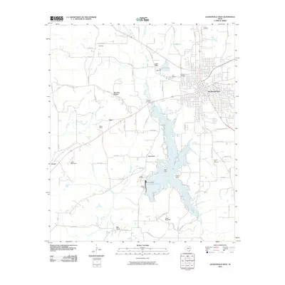
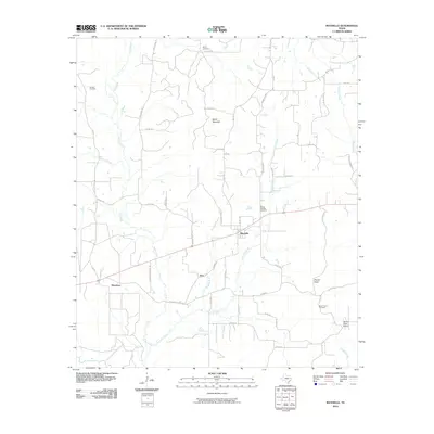
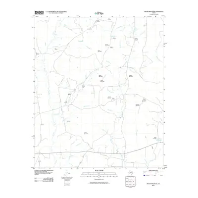
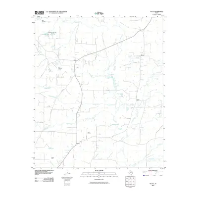
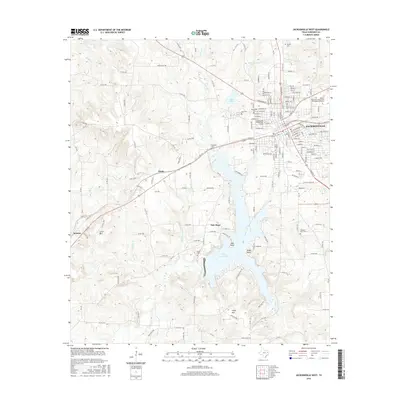
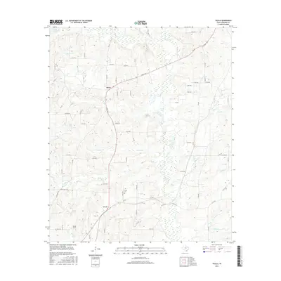
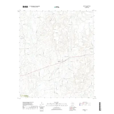
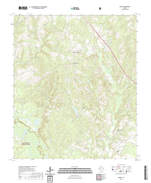
The St Louis Southwestern railroad corridor defines the settlement patterns of this 1970s East Texas landscape, linking small communities like Morrill and Brunswick through a heavily wooded terrain. These towns developed alongside the rail line, which runs roughly parallel to Larrison Creek and several unnamed cemeteries, including Arnold Cem and Thompson Cem. To the south, the terrain transitions into the dense bottomlands of the Davy Crockett National Forest, where the Neches River forms the natural boundary between Cherokee and Houston counties.
Find a feature on this map
43 named features on this map. Tap any name to fly to it.
Don’t see what you’re looking for? This feature index may not catch every label — zoom into the map to look around manually.
Map Details
Editions of this 1973 Forest Map
This is the sole edition of this map. No revisions or reprints were ever made.
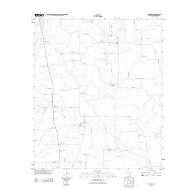
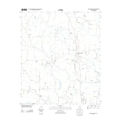
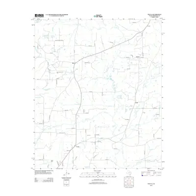
Historical Maps of Brunswick Through Time
67 maps found
1937 Troupe
Cherokee County, TX
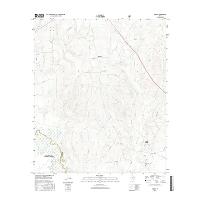
1973 Atoy
Cherokee County, TX
1973 Forest
Cherokee County, TX
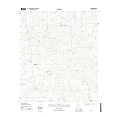
1973 Griffin
Cherokee County, TX
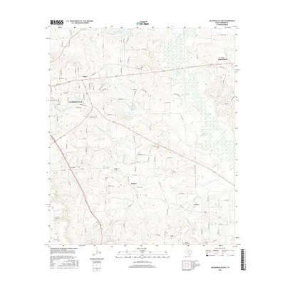
1973 Jacksonville East
Cherokee County, TX
1973 Mount Selman
Cherokee County, TX
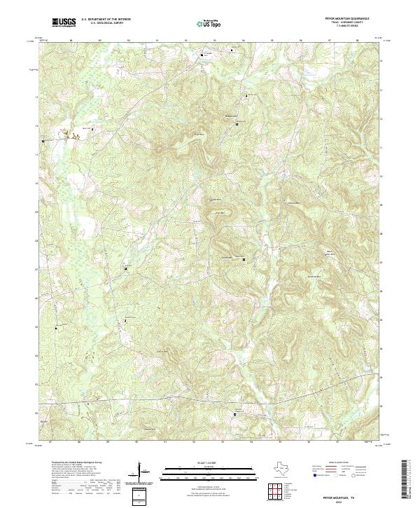
1973 Pryor Mountain
Cherokee County, TX
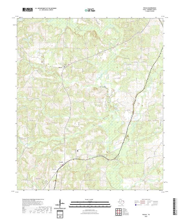
1973 Tecula
Cherokee County, TX
1982 Jacksonville West
Cherokee County, TX
1982 Maydelle
Cherokee County, TX
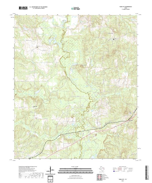
1982 Todd City
Cherokee County, TX
1983 Durst Lakes
Cherokee County, TX
2010 Atoy
Cherokee County, TX
2010 Durst Lakes
Cherokee County, TX
2010 Forest
Cherokee County, TX
2010 Griffin
Cherokee County, TX

2010 Jacksonville East
Cherokee County, TX
2010 Jacksonville West
Cherokee County, TX
2010 Maydelle
Cherokee County, TX

2010 Mount Selman
Cherokee County, TX
2010 Pryor Mountain
Cherokee County, TX
2010 Tecula
Cherokee County, TX
2010 Todd City
Cherokee County, TX
2012 Griffin
Cherokee County, TX
2012 Mount Selman
Cherokee County, TX
2012 Tecula
Cherokee County, TX
2013 Atoy
Cherokee County, TX
2013 Durst Lakes
Cherokee County, TX
2013 Forest
Cherokee County, TX
2013 Jacksonville East
Cherokee County, TX

2013 Jacksonville West
Cherokee County, TX
2013 Maydelle
Cherokee County, TX
2013 Pryor Mountain
Cherokee County, TX
2013 Todd City
Cherokee County, TX
2016 Atoy
Cherokee County, TX
2016 Durst Lakes
Cherokee County, TX
2016 Forest
Cherokee County, TX
2016 Griffin
Cherokee County, TX
2016 Jacksonville East
Cherokee County, TX
2016 Jacksonville West
Cherokee County, TX
2016 Maydelle
Cherokee County, TX
2016 Mount Selman
Cherokee County, TX
2016 Pryor Mountain
Cherokee County, TX
2016 Tecula
Cherokee County, TX
2016 Todd City
Cherokee County, TX
2019 Atoy
Cherokee County, TX
2019 Durst Lakes
Cherokee County, TX
2019 Forest
Cherokee County, TX
2019 Griffin
Cherokee County, TX
2019 Jacksonville East
Cherokee County, TX
2019 Jacksonville West
Cherokee County, TX
2019 Maydelle
Cherokee County, TX
2019 Mount Selman
Cherokee County, TX

2019 Pryor Mountain
Cherokee County, TX
2019 Tecula
Cherokee County, TX
2019 Todd City
Cherokee County, TX
2022 Atoy
Cherokee County, TX
2022 Durst Lakes
Cherokee County, TX
2022 Forest
Cherokee County, TX
2022 Griffin
Cherokee County, TX
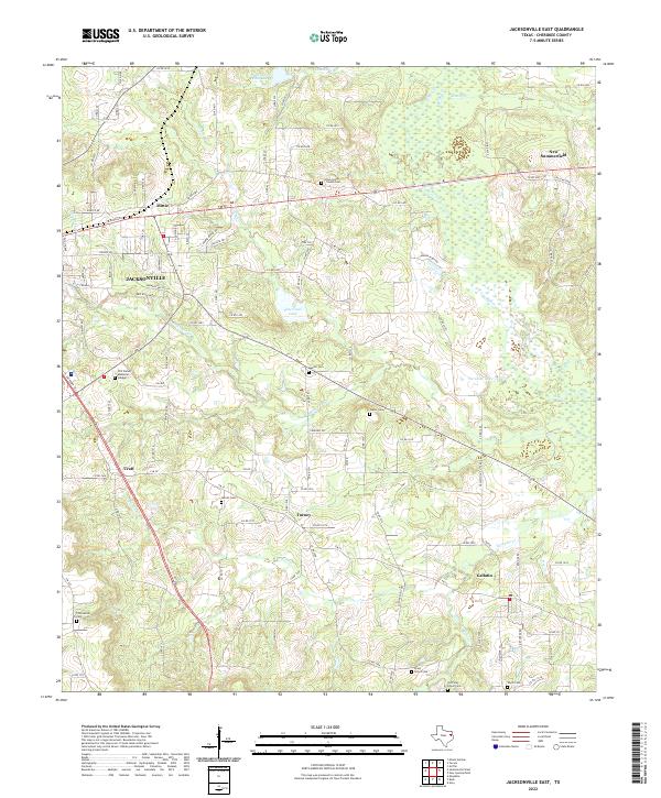
2022 Jacksonville East
Cherokee County, TX
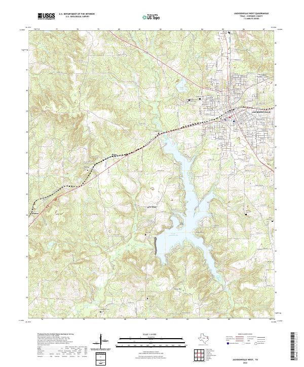
2022 Jacksonville West
Cherokee County, TX
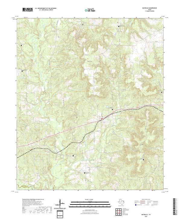
2022 Maydelle
Cherokee County, TX
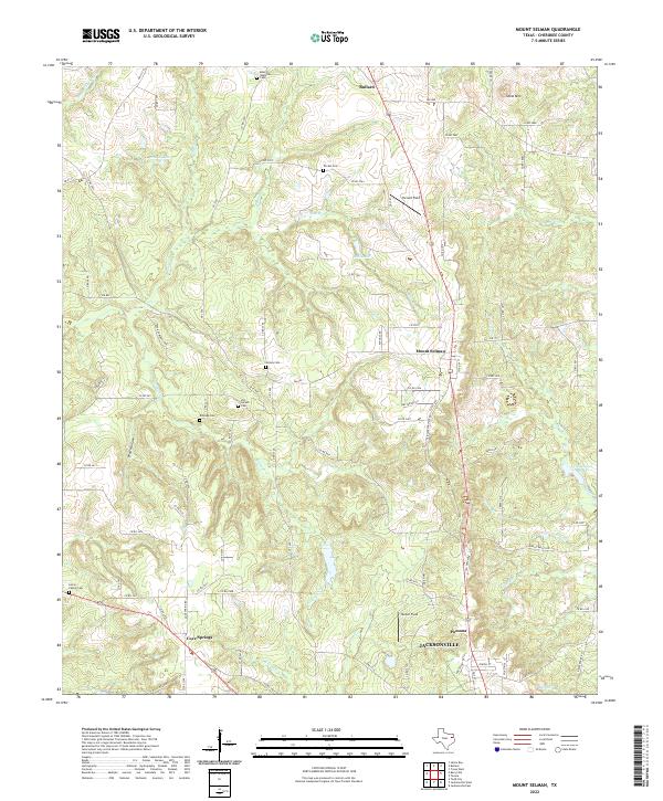
2022 Mount Selman
Cherokee County, TX
2022 Pryor Mountain
Cherokee County, TX
2022 Tecula
Cherokee County, TX
2022 Todd City
Cherokee County, TX