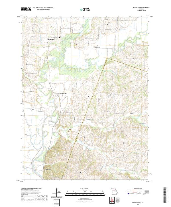
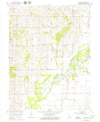
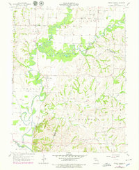
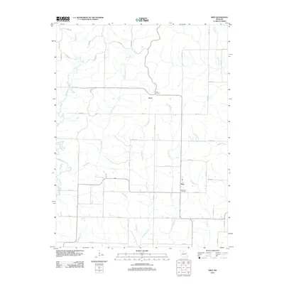
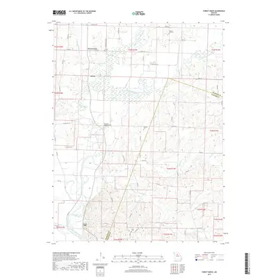
2021 Map of Forest Green
USGS Topo · Published 2021About this map
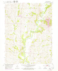
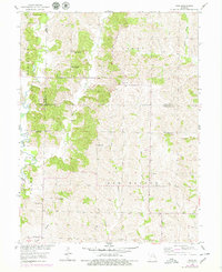
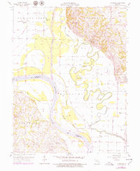
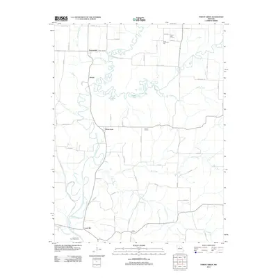
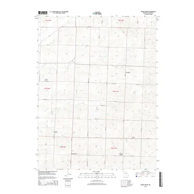
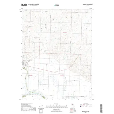
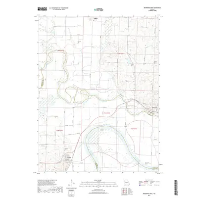
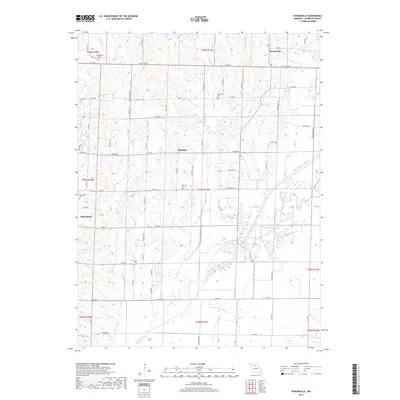
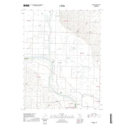
Forest Green and the surrounding river bottoms of the Little Chariton River system define this portion of the Missouri landscape at the border of Chariton and Howard counties. The area is characterized by a complex network of waterways, including the Middle Fork and East Fork, which feed into oxbow features such as Horseshoe Lake, Duck Lake, and Goose Lake. Small settlements like Shannondale and Oil City sit north of the river forks, while Lewis Mill anchors the southern reaches near Doxies Creek. The mapping of family and community burial grounds, such as Heryford Cem, Bailey Cem, and Price Cem, offers valuable data for genealogical research in this agricultural region. The extensive grid of rural roads, including Rascal Flats Rd and Chapel Hill Rd, provides a clear view of the modern land divisions and access points to the river's diverse wetlands and tributaries like Batts Cr and Barber Br.
Find a feature on this map
45 named features on this map. Tap any name to fly to it.
Don’t see what you’re looking for? This feature index may not catch every label — zoom into the map to look around manually.
Map Details
Editions of this 2021 Forest Green Map
This is the sole edition of this map. No revisions or reprints were ever made.
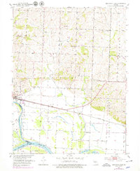
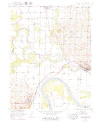
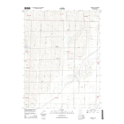
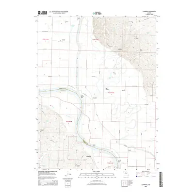
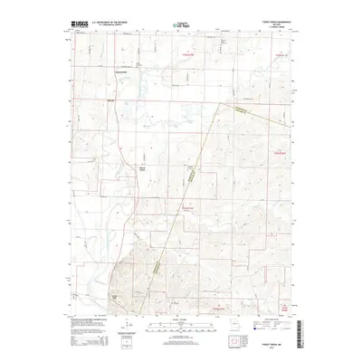
Historical Maps of Lewis Mill Through Time
41 maps found
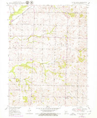
1949 Indian Grove
Chariton County, MO
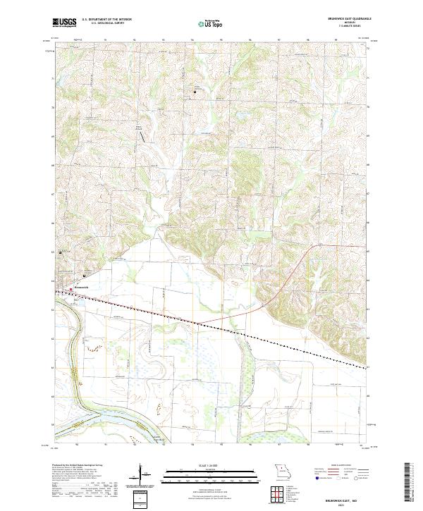
1951 Brunswick East
Chariton County, MO
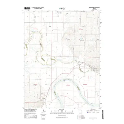
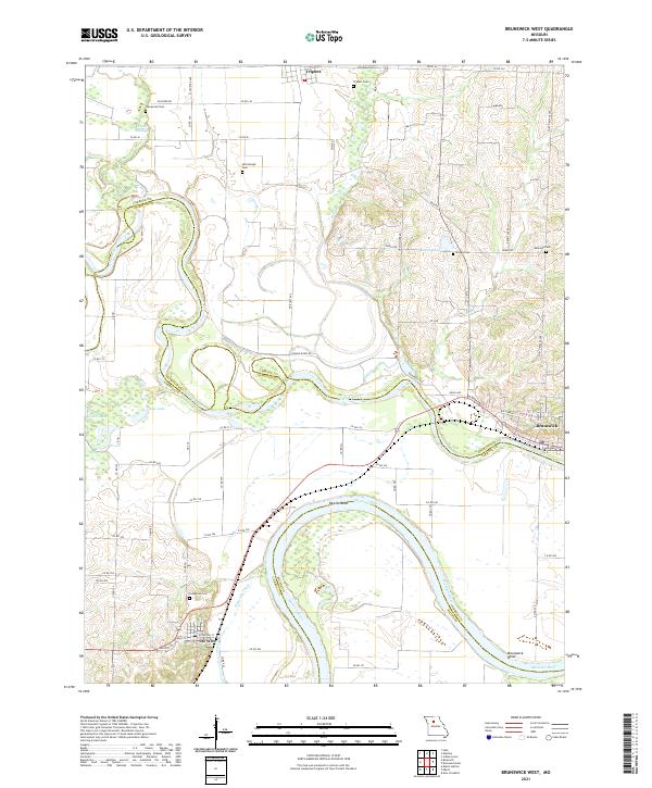
1951 Brunswick West
Chariton County, MO
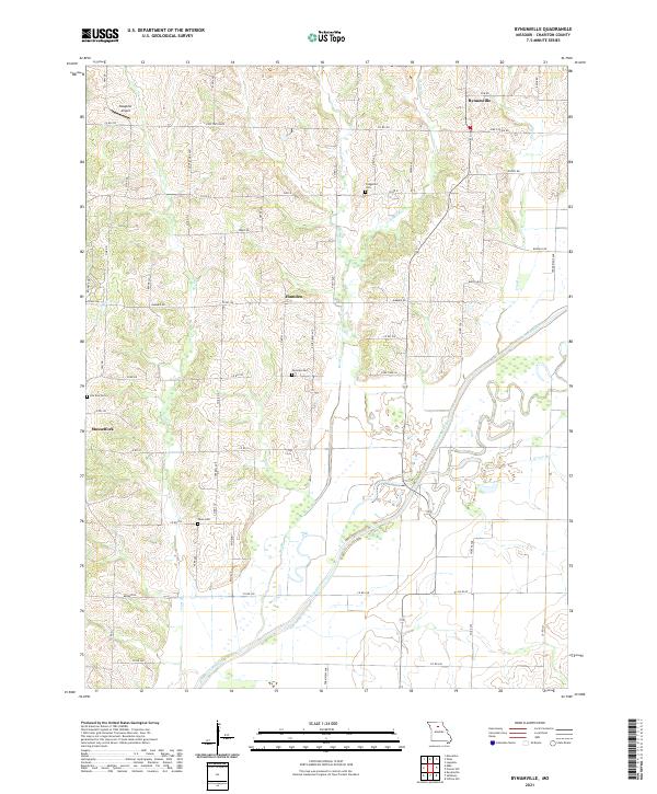
1953 Bynumville
Chariton County, MO
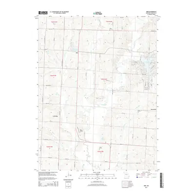
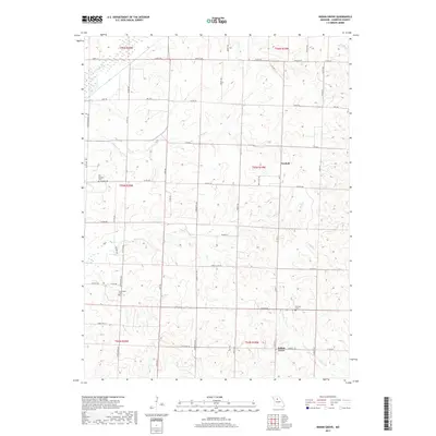
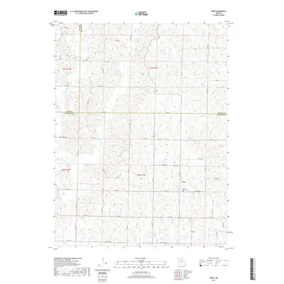
1953 Mike
Chariton County, MO
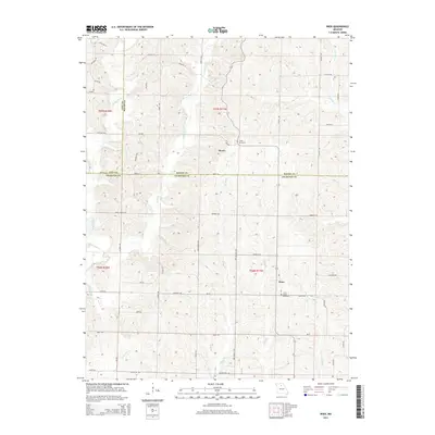
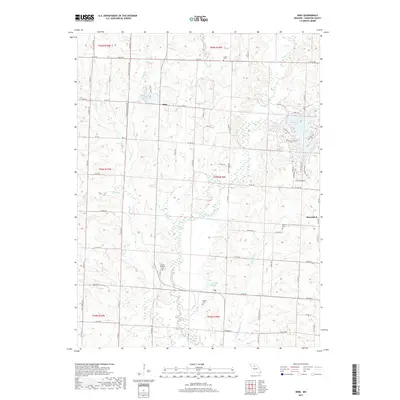
1953 Wien
Chariton County, MO
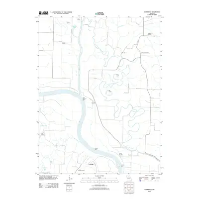
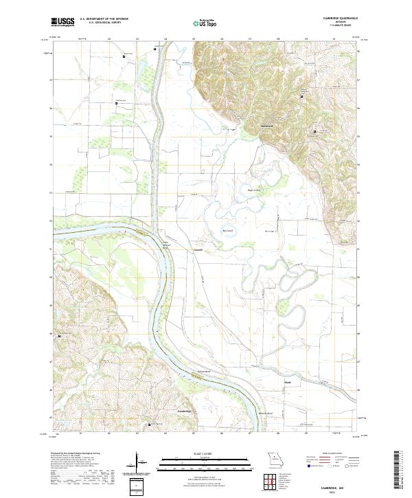
1956 Cambridge
Chariton County, MO
1956 Forest Green
Chariton County, MO
2012 Brunswick East
Chariton County, MO
2012 Brunswick West
Chariton County, MO
2012 Bynumville
Chariton County, MO
2012 Cambridge
Chariton County, MO
2012 Forest Green
Chariton County, MO
2012 Indian Grove
Chariton County, MO
2012 Mike
Chariton County, MO
2012 Wien
Chariton County, MO
2014 Bynumville
Chariton County, MO
2014 Cambridge
Chariton County, MO
2014 Forest Green
Chariton County, MO
2014 Mike
Chariton County, MO
2014 Wien
Chariton County, MO

2015 Brunswick East
Chariton County, MO
2015 Brunswick West
Chariton County, MO
2015 Indian Grove
Chariton County, MO
2017 Brunswick East
Chariton County, MO
2017 Brunswick West
Chariton County, MO
2017 Bynumville
Chariton County, MO
2017 Cambridge
Chariton County, MO
2017 Forest Green
Chariton County, MO
2017 Indian Grove
Chariton County, MO
2017 Mike
Chariton County, MO
2017 Wien
Chariton County, MO
2021 Brunswick East
Chariton County, MO
2021 Brunswick West
Chariton County, MO
2021 Bynumville
Chariton County, MO
2021 Cambridge
Chariton County, MO
2021 Forest Green
Chariton County, MO
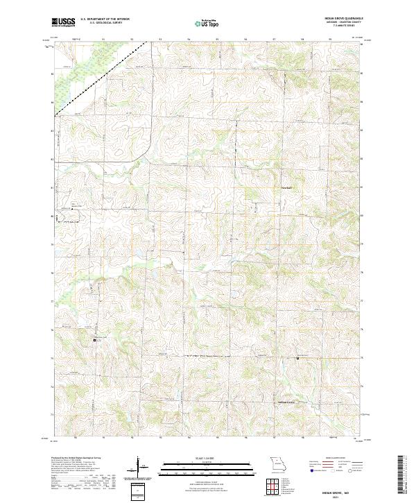
2021 Indian Grove
Chariton County, MO
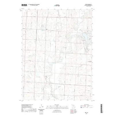
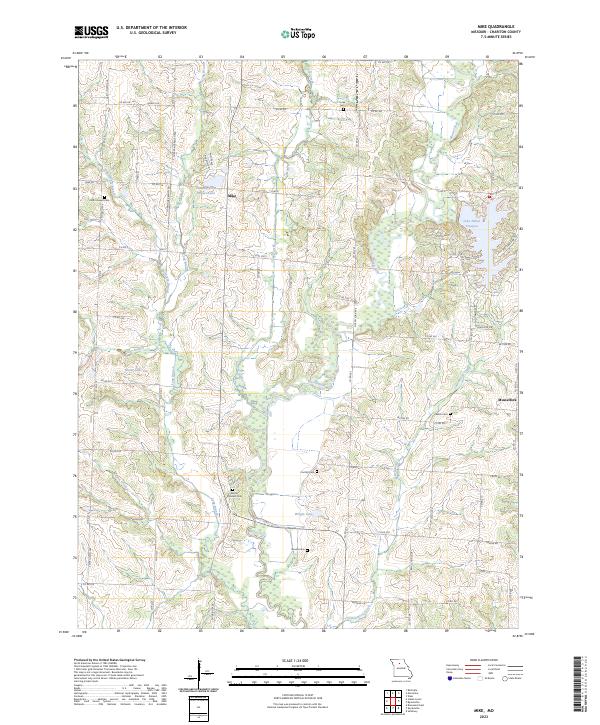
2021 Mike
Chariton County, MO
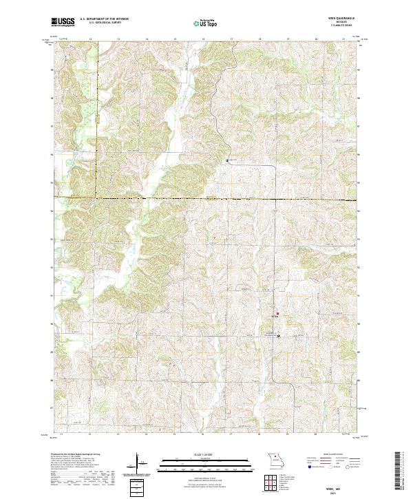
2021 Wien
Chariton County, MO
2023 Mike
Chariton County, MO