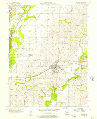
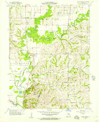
1956 Map of Salisbury
USGS Topo · Published 1957About this map
Salisbury stands as a central hub of activity in mid-1950s Chariton County, defined by its position along the Wabash railroad. The town's grid is dense with detail, surrounded by significant community landmarks like the Salisbury Cem, St Joseph Cem, and Immanuel Cem. To the west, the landscape transitions into the floodplain of the Chariton River, where the Old Channel and the meandering Puzzle Creek illustrate the complex hydrology of the region before modern interventions.
Find a feature on this map
26 named features on this map. Tap any name to fly to it.
Don’t see what you’re looking for? This feature index may not catch every label — zoom into the map to look around manually.
Map Details
Editions of this 1956 Salisbury Map
2 editions found
Other maps of this area

1890 · Glasgow
USGS Topo · 1:125,000

1953 · Moberly
USGS Topo · 1:250,000

1953 · Armstrong
USGS Topo · 1:24,000

1953 · Clifton Hill
USGS Topo · 1:24,000

1953 · Prairie Hill
USGS Topo · 1:24,000

1953 · Bynumville
USGS Topo · 1:24,000
1953 · Mike
USGS Topo · 1:24,000

1954 · Moberly
USGS Topo · 1:250,000
1956 · Keytesville
USGS Topo · 1:24,000
1956 · Forest Green
USGS Topo · 1:24,000