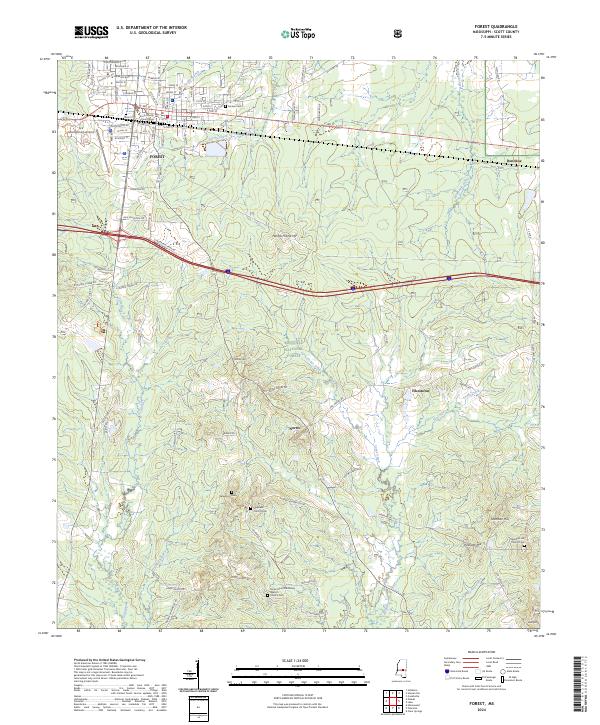
2024 Map of Forest
USGS Topo · Published 2024About this map
Forest serves as the focal point of this Scott County region, where the Kansas City Southern rail line parallels the historic route of Old Hwy 80. The town's grid is anchored by the Scott County Courthouse and radiates toward early industrial sites and the Montgomery Airport. South of the city, the landscape transitions into the protected acreage of the Bienville National Forest, a terrain of creek bottoms and low ridges such as Harrell Prairie Hill and Mathes Hill.
Find a feature on this map
36 named features on this map. Tap any name to fly to it.
Don’t see what you’re looking for? This feature index may not catch every label — zoom into the map to look around manually.
Map Details
Editions of this 2024 Forest Map
This is the sole edition of this map. No revisions or reprints were ever made.
Other maps of this area

1921 · Forest
USGS Topo · 1:48,000

1922 · Forest
USGS Topo · 1:62,500

1922 · Morton
USGS Topo · 1:48,000

1924 · Morton
USGS Topo · 1:62,500

1950 · Forest
USGS Topo · 1:62,500

1951 · Morton
USGS Topo · 1:62,500

1952 · Forest
USGS Topo · 1:62,500

1953 · Meridian
USGS Topo · 1:250,000

1957 · Meridian
USGS Topo · 1:250,000

1965 · Meridian
USGS Topo · 1:250,000