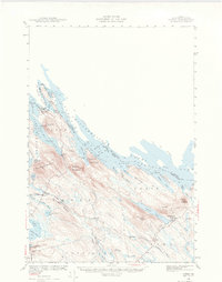
1940 Map of Forest
USGS Topo · Published 1974About this map
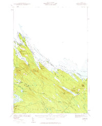
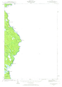
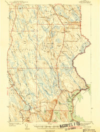
The international boundary between Maine and New Brunswick winds through the Chiputneticook Lakes on this 1940 survey, where the rugged topography of Greenland Mountain and Spednick Mountain overlooks a labyrinth of coves and inlets. The settlement of Forest City and the adjacent Forest City Landing serve as northern anchors on the St Croix River, while Vanceboro sits at the junction of the Maine Central and Canadian Pacific railroads.
Find a feature on this map
47 named features on this map. Tap any name to fly to it.
Don’t see what you’re looking for? This feature index may not catch every label — zoom into the map to look around manually.
Map Details
Editions of this 1940 Forest Map
3 editions found

Other maps of this area
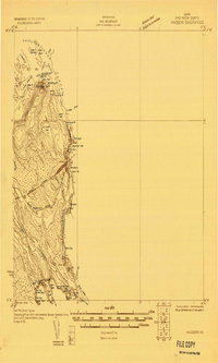
1930 · Vanceboro
USGS Topo · 1:48,000
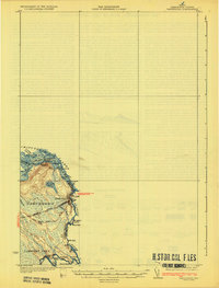
1933 · Vanceboro
USGS Topo · 1:62,500

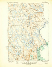
1940 · Danforth
USGS Topo · 1:62,500
1940 · Amity
USGS Topo · 1:62,500

1940 · Waite
USGS Topo · 1:62,500
1940 · Forest
USGS Topo · 1:62,500
1940 · Kellyland
USGS Topo · 1:62,500

1941 · Danforth
USGS Topo · 1:62,500
1941 · Amity
USGS Topo · 1:62,500

1941 · Scraggly Lake
USGS Topo · 1:62,500