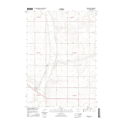
2015 Map of Forestburg
USGS Topo · Published 2015About this map
Forestburg sits at the intersection of local township life in Sanborn County, where the meandering course of the James River dictates the layout of the prairie landscape. The village's street grid, including W Corliss Ave and Corliss Ave, anchors a region defined by agricultural sections and natural drainage systems like Redstone Cr and Sand Cr. A notable topographic landmark, Big Mound, rises above the river valley, providing a distinct geographic marker for the area's early surveyors and settlers. The map illustrates a disciplined grid of rural roads, such as River Rd and numerous numbered avenues, which facilitated the movement of goods and people across the eastern South Dakota plains. To the southwest, County Ditch Number 4 reveals the long-standing efforts to manage the low-lying wetlands and optimize the fertile soil for farming. This 2015 survey reflects the enduring rural character and spatial organization of Floyd Township.
Find a feature on this map
28 named features on this map. Tap any name to fly to it.
Don’t see what you’re looking for? This feature index may not catch every label — zoom into the map to look around manually.
Map Details
Editions of this 2015 Forestburg Map
This is the sole edition of this map. No revisions or reprints were ever made.
Other maps of this area

1898 · Huron
USGS Topo · 1:125,000

1899 · Mitchell
USGS Topo · 1:125,000

1899 · Alexandria
USGS Topo · 1:125,000

1899 · De Smet
USGS Topo · 1:125,000

1953 · Huron
USGS Topo · 1:250,000

1953 · Watertown
USGS Topo · 1:250,000

1954 · Huron
USGS Topo · 1:250,000

1955 · Sioux Falls
USGS Topo · 1:250,000

1955 · Mitchell
USGS Topo · 1:250,000

1957 · Forestburg NE
USGS Topo · 1:24,000