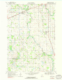
1968 Map of Foreston
USGS Topo · Published 1991About this map
The West Branch Rum River winds through the heart of Mille Lacs County, defining a landscape of agricultural drainage and dispersed rural settlements in the late 1960s. The Great Northern railroad corridor serves as the primary axis for development, connecting the village of Foreston with the surrounding townships of Millaca and Bogus Brook. This survey provides a snapshot of the region's social infrastructure, mapping essential local landmarks such as School No 1146 and numerous country burial grounds including St Louis Cem and Pilgrims Rest Cem. The abundance of Gravel Pits concentrated near the riverbanks suggests the importance of local material extraction for the area's road network. In the southern reaches, the small settlement of Estes Brook and local congregations at Sharon Ch and West Branch Ch anchor the farming community, illustrating the persistence of late 19th-century settlement patterns into the mid-20th century.
Find a feature on this map
31 named features on this map. Tap any name to fly to it.
Don’t see what you’re looking for? This feature index may not catch every label — zoom into the map to look around manually.
Map Details
Editions of this 1968 Foreston Map
2 editions found
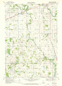
Other maps of this area

1953 · Stillwater
USGS Topo · 1:250,000

1955 · Stillwater
USGS Topo · 1:250,000

1958 · Stillwater
USGS Topo · 1:250,000

1965 · Stillwater
USGS Topo · 1:250,000

1968 · Rum River
USGS Topo · 1:24,000
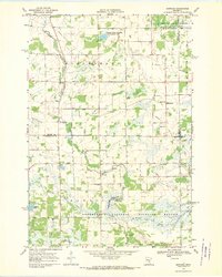
1968 · Santiago
USGS Topo · 1:24,000
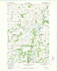
1968 · Princeton SW
USGS Topo · 1:24,000

1968 · Milaca
USGS Topo · 1:24,000
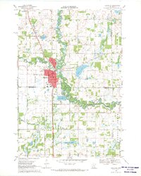
1968 · Princeton
USGS Topo · 1:24,000
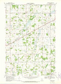
1968 · Ronneby
USGS Topo · 1:24,000