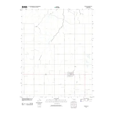
2010 Map of Forgan
USGS Topo · Published 2010About this map
Forgan serves as the primary hub of this High Plains landscape in Beaver County, defined by its rigid section-line road grid and scattered ephemeral water bodies. The settlement's residential streets and commercial center sit at the junction of several regional routes, including Hollow N1380 and the east-west corridor of Hollow E0060. To the north, the Diamond S Ranch represents the region's enduring cattle-ranching heritage, where the terrain breaks into more complex drainage patterns before smoothing out into the agricultural flats seen elsewhere. Local history is anchored at the Forgan Cemetery, located just north of the town center along Hollow N1385. The map meticulously documents the network of "Hollow" roads, such as Hollow E0080 and Hollow N1330, which facilitate movement across this expansive ranching and farming territory.
Find a feature on this map
20 named features on this map. Tap any name to fly to it.
Don’t see what you’re looking for? This feature index may not catch every label — zoom into the map to look around manually.
Map Details
Editions of this 2010 Forgan Map
This is the sole edition of this map. No revisions or reprints were ever made.
Other maps of this area

1892 · Meade
USGS Topo · 1:125,000

1954 · Perryton
USGS Topo · 1:250,000

1955 · Dodge City
USGS Topo · 1:250,000

1958 · Perryton
USGS Topo · 1:250,000

1958 · Dodge City
USGS Topo · 1:250,000

1959 · Dodge City
USGS Topo · 1:250,000

1963 · Kismet SE
USGS Topo · 1:24,000

1963 · Irish Flats
USGS Topo · 1:24,000

1970 · Mocane NW
USGS Topo · 1:24,000

1971 · Kismet SW
USGS Topo · 1:24,000