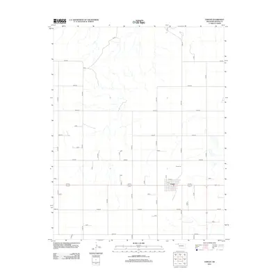
2012 Map of Forgan
USGS Topo · Published 2012About this map
Forgan serves as the central hub of this Beaver County landscape, where the town site is organized around a traditional grid iron street pattern. This 2012 survey by the U.S. Geological Survey illustrates the transition of the Oklahoma Panhandle into a region defined by an expansive section-line road network, such as E0030 Rd and N1340 Rd. The settlement's proximity to regional drainage is visible in the numerous unnamed intermittent streams and creeks that branch across the northern and eastern quadrants.
Find a feature on this map
40 named features on this map. Tap any name to fly to it.
Don’t see what you’re looking for? This feature index may not catch every label — zoom into the map to look around manually.
Map Details
Editions of this 2012 Forgan Map
This is the sole edition of this map. No revisions or reprints were ever made.
Other maps of this area

1892 · Meade
USGS Topo · 1:125,000

1954 · Perryton
USGS Topo · 1:250,000

1955 · Dodge City
USGS Topo · 1:250,000

1958 · Perryton
USGS Topo · 1:250,000

1958 · Dodge City
USGS Topo · 1:250,000

1959 · Dodge City
USGS Topo · 1:250,000

1963 · Kismet SE
USGS Topo · 1:24,000

1963 · Irish Flats
USGS Topo · 1:24,000

1970 · Mocane NW
USGS Topo · 1:24,000

1971 · Kismet SW
USGS Topo · 1:24,000