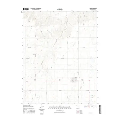
2016 Map of Forgan
USGS Topo · Published 2016About this map
Forgan serves as the central hub of this Oklahoma Panhandle landscape, where the grid of the town site meets the expansive network of section-line roads. The town's layout is clearly defined by streets such as S 2nd St and N Branch 3rd, illustrating a concentrated pocket of settlement surrounded by the high plains. Just north of the residential and commercial center lies the Forgan Cem, a critical site for local genealogical research. The surrounding terrain is dissected by a systematic naming convention for local routes, including Hollow N1380 and Hollow E0050, which facilitate movement through the drainage patterns and agricultural fields of Beaver County. This map documents the persistent agricultural and residential structure of the region in the early 21st century.
Find a feature on this map
19 named features on this map. Tap any name to fly to it.
Don’t see what you’re looking for? This feature index may not catch every label — zoom into the map to look around manually.
Map Details
Editions of this 2016 Forgan Map
This is the sole edition of this map. No revisions or reprints were ever made.
Other maps of this area

1892 · Meade
USGS Topo · 1:125,000

1954 · Perryton
USGS Topo · 1:250,000

1955 · Dodge City
USGS Topo · 1:250,000

1958 · Perryton
USGS Topo · 1:250,000

1958 · Dodge City
USGS Topo · 1:250,000

1959 · Dodge City
USGS Topo · 1:250,000

1963 · Kismet SE
USGS Topo · 1:24,000

1963 · Irish Flats
USGS Topo · 1:24,000

1970 · Mocane NW
USGS Topo · 1:24,000

1971 · Kismet SW
USGS Topo · 1:24,000