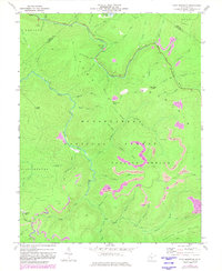
1977 Map of Fork Mountain
USGS Topo · Published 1982About this map
The Monongahela National Forest dominates this topographic survey of the Greenbrier and Nicholas county borderlands, characterized by a complex network of ridges and watercourses. High elevations like Rockcamp Knob, Bearwallow Knob, and Fork Mountain define the drainage basins for the North Fork and South Fork of the Cherry River. While much of the terrain is dedicated to forest conservation, the map reveals the mid-century industrial footprint with multiple Strip Mine operations concentrated in the Falling Spring District.
Find a feature on this map
52 named features on this map. Tap any name to fly to it.
Don’t see what you’re looking for? This feature index may not catch every label — zoom into the map to look around manually.
Map Details
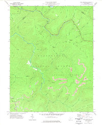
Editions of this 1977 Fork Mountain Map
2 editions found
Other maps of this area

1889 · Nicholas
USGS Topo · 1:125,000

1891 · Nicholas
USGS Topo · 1:125,000

1891 · Huntersville
USGS Topo · 1:125,000

1894 · Huntersville
USGS Topo · 1:125,000

1901 · Nicholas
USGS Topo · 1:125,000

1915 · Webster Springs
USGS Topo · 1:48,000

1915 · Cowen
USGS Topo · 1:48,000

1917 · Cowen
USGS Topo · 1:62,500

1918 · Webster Springs
USGS Topo · 1:62,500

1918 · Richwood
USGS Topo · 1:62,500