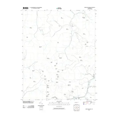
2010 Map of Fork Mountain
USGS Topo · Published 2010About this map
The Devonia Post Office serves as a small hub of human activity amidst the extensive industrial footprint of Tennessee's coal mining country. This landscape is defined by its deep connection to extraction, where numerous operations like the Mahan-Ellison Mine, Sagamine Mine, and the Fork Mountain-Peewee Mountain Mine underscore the region's economic heritage. The map traces the winding paths of Smokey Creek Rd and Indian Fork Rd, which navigate between prominent elevations such as Big Mountain and Arch Mountain.
Find a feature on this map
68 named features on this map. Tap any name to fly to it.
Don’t see what you’re looking for? This feature index may not catch every label — zoom into the map to look around manually.
Map Details
Editions of this 2010 Fork Mountain Map
This is the sole edition of this map. No revisions or reprints were ever made.
Other maps of this area

1893 · Briceville
USGS Topo · 1:125,000

1895 · Wartburg
USGS Topo · 1:125,000

1895 · Briceville
USGS Topo · 1:125,000

1896 · Wartburg
USGS Topo · 1:125,000

1896 · Briceville
USGS Topo · 1:125,000

1935 · Gobey
USGS Topo · 1:24,000

1935 · Camp Austin
USGS Topo · 1:24,000

1936 · Hogbell Gap
USGS Topo · 1:24,000

1936 · Block
USGS Topo · 1:24,000

1936 · Duncan Flats
USGS Topo · 1:24,000