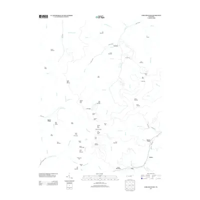
2013 Map of Fork Mountain
USGS Topo · Published 2013About this map
Moores Camp and Mahan Village anchor the scattered mountain settlements of this rugged East Tennessee landscape. The terrain is defined by a dense network of ridges and knobs, including the prominent Old Mac Mountain and Smoky Mountain, which dictate the winding paths of roads like Smokey Creek Rd. These drainage patterns are intricate, with the Emory River and the New River cutting deep through the topography. Historical water sources such as Coffin Spring and Tub Spring are noted alongside family-named landmarks like Norman Pond Knob and Squire Knob. The presence of Tioga and Buffalo at the confluence of the New River and Laurel Fork suggests a settlement pattern historically tied to these narrow river valleys, where local transportation routes like Dunlap Ln follow the natural contours of the land.
Find a feature on this map
89 named features on this map. Tap any name to fly to it.
Don’t see what you’re looking for? This feature index may not catch every label — zoom into the map to look around manually.
Map Details
Editions of this 2013 Fork Mountain Map
This is the sole edition of this map. No revisions or reprints were ever made.
Other maps of this area

1893 · Briceville
USGS Topo · 1:125,000

1895 · Wartburg
USGS Topo · 1:125,000

1895 · Briceville
USGS Topo · 1:125,000

1896 · Wartburg
USGS Topo · 1:125,000

1896 · Briceville
USGS Topo · 1:125,000

1935 · Gobey
USGS Topo · 1:24,000

1935 · Camp Austin
USGS Topo · 1:24,000

1936 · Hogbell Gap
USGS Topo · 1:24,000

1936 · Block
USGS Topo · 1:24,000

1936 · Duncan Flats
USGS Topo · 1:24,000