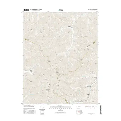
2016 Map of Fork Mountain
USGS Topo · Published 2016About this map
Hembree and Mahan Village stand as primary settlements in this Cumberland Plateau region, where the terrain is defined by a dense network of ridges such as Ligias Ridge and Zeek Ridge. The landscape is carved by significant watercourses including the Emory River and the New River, which dictate the placement of early road corridors like Fork Mountain Rd. Local history is preserved in numerous family and community burial grounds, from the Beech Grove Cem near Tioga to the Patterson Cem along the Morgan and Anderson county line.
Find a feature on this map
87 named features on this map. Tap any name to fly to it.
Don’t see what you’re looking for? This feature index may not catch every label — zoom into the map to look around manually.
Map Details
Editions of this 2016 Fork Mountain Map
This is the sole edition of this map. No revisions or reprints were ever made.
Other maps of this area

1893 · Briceville
USGS Topo · 1:125,000

1895 · Wartburg
USGS Topo · 1:125,000

1895 · Briceville
USGS Topo · 1:125,000

1896 · Wartburg
USGS Topo · 1:125,000

1896 · Briceville
USGS Topo · 1:125,000

1935 · Gobey
USGS Topo · 1:24,000

1935 · Camp Austin
USGS Topo · 1:24,000

1936 · Hogbell Gap
USGS Topo · 1:24,000

1936 · Block
USGS Topo · 1:24,000

1936 · Duncan Flats
USGS Topo · 1:24,000