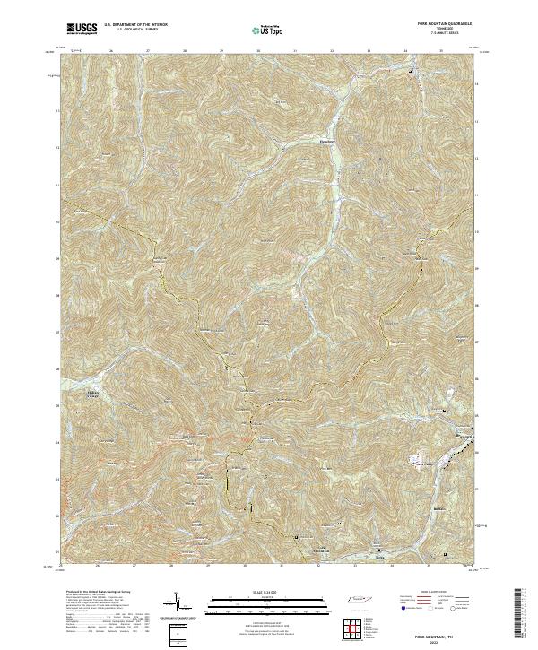
2022 Map of Fork Mountain
USGS Topo · Published 2022About this map
The Emory River and the New River define the lower elevations of this high-relief landscape where the borders of Scott, Anderson, and Morgan Counties converge. Small mountain settlements and mining camps like Mahan Village, Moores Camp, and Buffalo are tucked into the valleys between massive ridges. The terrain is marked by significant peaks such as Big Mtn and Flower Mtn, while the Cumberland Trl traverses the high ground of Smoky Mtn and Burge Mtn. For genealogists, the map is a vital resource for locating family burial sites in difficult terrain, including Low Cem, Daughtery Cem 2, and the Beech Grove Cem near Tioga. The complex network of watercourses, from Smoky Cr to Indian Fork, illustrates the natural drainage patterns that have historically dictated the placement of roads like Fork Mountain Rd and the small communities that depend on them.
Find a feature on this map
97 named features on this map. Tap any name to fly to it.
Don’t see what you’re looking for? This feature index may not catch every label — zoom into the map to look around manually.
Map Details
Editions of this 2022 Fork Mountain Map
This is the sole edition of this map. No revisions or reprints were ever made.
Other maps of this area

1893 · Briceville
USGS Topo · 1:125,000

1895 · Wartburg
USGS Topo · 1:125,000

1895 · Briceville
USGS Topo · 1:125,000

1896 · Wartburg
USGS Topo · 1:125,000

1896 · Briceville
USGS Topo · 1:125,000

1935 · Gobey
USGS Topo · 1:24,000

1935 · Camp Austin
USGS Topo · 1:24,000

1936 · Hogbell Gap
USGS Topo · 1:24,000

1936 · Block
USGS Topo · 1:24,000

1936 · Duncan Flats
USGS Topo · 1:24,000