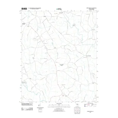
2011 Map of Fork Shoals
USGS Topo · Published 2011About this map
Horse Creek and the Reedy River wind through this landscape south of Greenville, where small rural communities and historic family burial grounds define the local geography. The map documents numerous landmarks essential for genealogical research, including Lickville Cemetery, Columbia Cemetery, and Princeton Cemetery. The intersection at McKelvey Crossroads and the settlement of Lickville serve as key navigational points amidst a network of country roads such as McKelvey Rd and Reedy Fork Rd. Water management and infrastructure are evident through features like Stallings Pond Dam Number One D-2900 and Hollidays Bridge Dam on the Saluda River. The area's administrative layout is noted by the presence of Duncan Township, providing a clear view of the rural South Carolina Piedmont as it transitioned into the early 21st century.
Find a feature on this map
92 named features on this map. Tap any name to fly to it.
Don’t see what you’re looking for? This feature index may not catch every label — zoom into the map to look around manually.
Map Details
Editions of this 2011 Fork Shoals Map
This is the sole edition of this map. No revisions or reprints were ever made.
Other maps of this area

1892 · Abbeville
USGS Topo · 1:125,000

1954 · Greenville
USGS Topo · 1:250,000

1957 · Fountain Inn
USGS Topo · 1:62,500

1957 · Williamston
USGS Topo · 1:62,500

1958 · Greenville
USGS Topo · 1:250,000
1970 · Honea Path
USGS Topo · 1:24,000
1971 · Ware Shoals East
USGS Topo · 1:24,000
1971 · Ware Shoals West
USGS Topo · 1:24,000
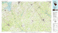
1979 · Abbeville
USGS Topo · 1:100,000
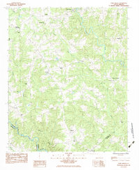
1983 · Fork Shoals
USGS Topo · 1:24,000