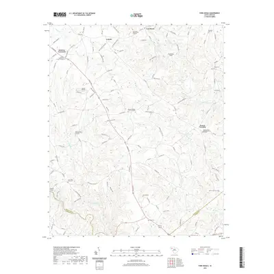
2020 Map of Fork Shoals
USGS Topo · Published 2020About this map
The Reedy River and Saluda River frame this landscape at the intersection of Greenville, Anderson, and Laurens counties. The terrain is defined by its deep spiritual and genealogical roots, evidenced by several church-graveyard complexes including Lickville Presbyterian Church-Graveyard and Lebanon United Methodist Church Graveyard. Small settlements like McKelvey Crossroads and Lickville serve as local anchors within Duncan Township, connected by a network of rural roads such as Augusta Rd and Latimer Mill Rd. Distinctive water features like the Horseshoe Bend on the Reedy River and the Cedar Shoals highlight the area's natural topography. For local historians, family-named landmarks like the Cooley Whitt Family Cem and Traynham Cem provide specific points for ancestral research near the Holiday Bridge.
Find a feature on this map
114 named features on this map. Tap any name to fly to it.
Don’t see what you’re looking for? This feature index may not catch every label — zoom into the map to look around manually.
Map Details
Editions of this 2020 Fork Shoals Map
This is the sole edition of this map. No revisions or reprints were ever made.
Other maps of this area

1892 · Abbeville
USGS Topo · 1:125,000

1954 · Greenville
USGS Topo · 1:250,000

1957 · Fountain Inn
USGS Topo · 1:62,500

1957 · Williamston
USGS Topo · 1:62,500

1958 · Greenville
USGS Topo · 1:250,000
1970 · Honea Path
USGS Topo · 1:24,000
1971 · Ware Shoals East
USGS Topo · 1:24,000
1971 · Ware Shoals West
USGS Topo · 1:24,000
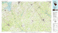
1979 · Abbeville
USGS Topo · 1:100,000
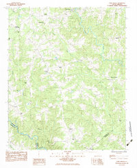
1983 · Fork Shoals
USGS Topo · 1:24,000