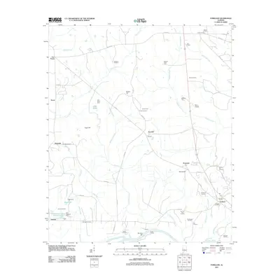
2011 Map of Forkland
USGS Topo · Published 2011About this map
Forkland serves as the primary hub in this West Alabama landscape, situated just north of a sharp bend in the Tombigbee River. The terrain is defined by a dense network of creeks, including Taylor Creek and McConnico Creek, which drain the varied topography of Hagan Hill and Burton Hill. This area is notable for its high concentration of small, named settlements and historic family landing sites along the river, such as Durdens Bar and Derder Landing.
Find a feature on this map
67 named features on this map. Tap any name to fly to it.
Don’t see what you’re looking for? This feature index may not catch every label — zoom into the map to look around manually.
Map Details
Editions of this 2011 Forkland Map
This is the sole edition of this map. No revisions or reprints were ever made.
Other maps of this area

1927 · Eutaw
USGS Topo · 1:48,000

1929 · Epes
USGS Topo · 1:48,000

1931 · Eutaw
USGS Topo · 1:62,500

1932 · Epes
USGS Topo · 1:62,500

1946 · Demopolis
USGS Topo · 1:24,000

1947 · Demopolis
USGS Topo · 1:24,000

1947 · Mason Bend
USGS Topo · 1:24,000

1947 · Forkland
USGS Topo · 1:24,000

1948 · Mason Bend
USGS Topo · 1:24,000

1948 · Mc Dowell
USGS Topo · 1:24,000