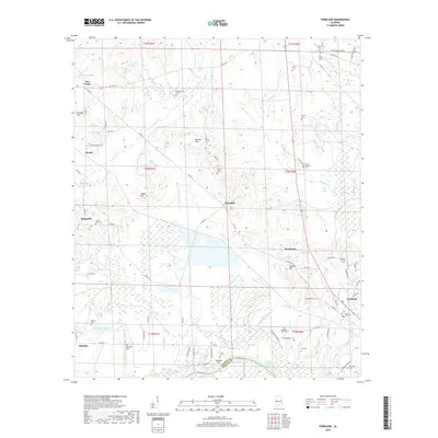
2018 Map of Forkland
USGS Topo · Published 2018About this map
Forkland and its surrounding Greene County countryside are defined by the winding hydrology of the Tennessee-Tombigbee Waterway and Demopolis Lake at the southern boundary. This 2018 survey reveals a landscape of small settlements and family-named landforms, such as Burton Hill, Hagan Hill, and Bullocks Hill. The density of community landmarks is particularly high, with numerous rural cemeteries like Hard Bargain Cemetery, Morning Star Cemetery, and Little Zion Cemetery dotting the terrain between Hagan Swamp and the various creek beds.
Find a feature on this map
98 named features on this map. Tap any name to fly to it.
Don’t see what you’re looking for? This feature index may not catch every label — zoom into the map to look around manually.
Map Details
Editions of this 2018 Forkland Map
This is the sole edition of this map. No revisions or reprints were ever made.
Other maps of this area

1927 · Eutaw
USGS Topo · 1:48,000

1929 · Epes
USGS Topo · 1:48,000

1931 · Eutaw
USGS Topo · 1:62,500

1932 · Epes
USGS Topo · 1:62,500

1946 · Demopolis
USGS Topo · 1:24,000

1947 · Demopolis
USGS Topo · 1:24,000

1947 · Mason Bend
USGS Topo · 1:24,000

1947 · Forkland
USGS Topo · 1:24,000

1948 · Mason Bend
USGS Topo · 1:24,000

1948 · Mc Dowell
USGS Topo · 1:24,000