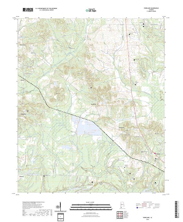
2024 Map of Forkland
USGS Topo · Published 2024About this map
The Tombigbee River forms the southern boundary of this Greene County landscape, where the Tennessee-Tombigbee Waterway meets the natural river bend at Durdens Bar. Historically significant river crossings are evidenced by the site of Durdens Ferry, reflecting the era's reliance on waterborne transport for regional connectivity. The map captures a dense network of local cemeteries including Saint John Cem, Kirksey Cem, and Little Zion Cem, which serve as vital markers for genealogical research near the settlements of Forkland and Tishabee.
Find a feature on this map
79 named features on this map. Tap any name to fly to it.
Don’t see what you’re looking for? This feature index may not catch every label — zoom into the map to look around manually.
Map Details
Editions of this 2024 Forkland Map
This is the sole edition of this map. No revisions or reprints were ever made.
Other maps of this area

1927 · Eutaw
USGS Topo · 1:48,000

1929 · Epes
USGS Topo · 1:48,000

1931 · Eutaw
USGS Topo · 1:62,500

1932 · Epes
USGS Topo · 1:62,500

1946 · Demopolis
USGS Topo · 1:24,000

1947 · Demopolis
USGS Topo · 1:24,000

1947 · Mason Bend
USGS Topo · 1:24,000

1947 · Forkland
USGS Topo · 1:24,000

1948 · Mason Bend
USGS Topo · 1:24,000

1948 · Mc Dowell
USGS Topo · 1:24,000