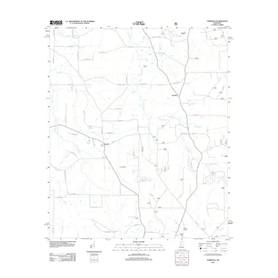
2012 Map of Forkville
USGS Topo · Published 2012About this map
Forkville and the surrounding Scott County landscape are defined by a network of drainage systems and open terrain features. This 2012 survey highlights the prominence of Coffee Bogue as it meanders through the central and southern portions of the quadrangle, joined by tributaries such as Sugar Bogue and Cherry Cr. The geography is notable for its named open areas, specifically Bald Prairie and Line Prairie, which stand out against the wooded creek bottoms. A distinct pattern of rural settlement is evident along the road network, with communities like Branch and Beach serving as local hubs. For those tracing family histories in the area, the map precisely locates several burial grounds including Latham Cem, Liberty Cem, and the Morton Memorial Cem in the southern reaches, providing a clear record of the local genealogical landscape in the early 21st century.
Find a feature on this map
63 named features on this map. Tap any name to fly to it.
Don’t see what you’re looking for? This feature index may not catch every label — zoom into the map to look around manually.
Map Details
Editions of this 2012 Forkville Map
This is the sole edition of this map. No revisions or reprints were ever made.
Other maps of this area

1922 · Morton
USGS Topo · 1:48,000

1922 · Pelahatchee
USGS Topo · 1:48,000

1924 · Pelahatchee
USGS Topo · 1:62,500

1924 · Morton
USGS Topo · 1:62,500

1950 · Pelahatchie
USGS Topo · 1:62,500

1951 · Morton
USGS Topo · 1:62,500

1952 · Pelahatchie
USGS Topo · 1:62,500

1953 · Meridian
USGS Topo · 1:250,000

1957 · Meridian
USGS Topo · 1:250,000

1960 · Sharon
USGS Topo · 1:62,500