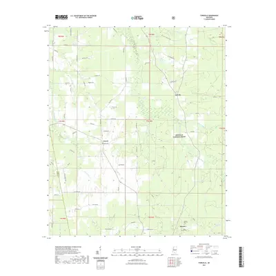
2021 Map of Forkville
USGS Topo · Published 2021About this map
The Bienville National Forest dominates the eastern half of this landscape, where the headwaters of Coffee Bogue and Sugar Bogue drain through the wooded interior. This 2021 survey of the border between Rankin and Scott Counties shows a rural Mississippi environment defined by winding creeks and a network of named local roads. The settlement of Morton sits at the southern edge of the sheet, serving as a focal point near Morton Memorial Cem and Hodge Hill Cem.
Find a feature on this map
70 named features on this map. Tap any name to fly to it.
Don’t see what you’re looking for? This feature index may not catch every label — zoom into the map to look around manually.
Map Details
Editions of this 2021 Forkville Map
This is the sole edition of this map. No revisions or reprints were ever made.
Other maps of this area

1922 · Morton
USGS Topo · 1:48,000

1922 · Pelahatchee
USGS Topo · 1:48,000

1924 · Pelahatchee
USGS Topo · 1:62,500

1924 · Morton
USGS Topo · 1:62,500

1950 · Pelahatchie
USGS Topo · 1:62,500

1951 · Morton
USGS Topo · 1:62,500

1952 · Pelahatchie
USGS Topo · 1:62,500

1953 · Meridian
USGS Topo · 1:250,000

1957 · Meridian
USGS Topo · 1:250,000

1960 · Sharon
USGS Topo · 1:62,500