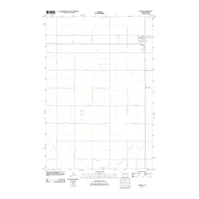
2011 Map of Forman
USGS Topo · Published 2011About this map
The town of Forman serves as a focal point in this portion of Sargent County, situated at the intersection of a grid-like network of rural roads such as 90th St SE and Antelope Ave SE. This survey reflects the agricultural character of the North Dakota plains during the early 21st century, where the landscape is primarily defined by large sections of land and occasional water bodies. South of the main settlement, the Wild Rice River and Wild Rice Creek meander through the prairie, providing a natural contrast to the geometric precision of the township and range system. Notable landmarks for local history include Old Trinity Cemetery, located east of the central town site, and Buttke Lake near the southern boundary. The presence of County Hwy-3 and numerous numbered streets indicates a well-established infrastructure connecting the remote farmsteads to the civic center at Forman.
Find a feature on this map
19 named features on this map. Tap any name to fly to it.
Don’t see what you’re looking for? This feature index may not catch every label — zoom into the map to look around manually.
Map Details
Editions of this 2011 Forman Map
This is the sole edition of this map. No revisions or reprints were ever made.
Other maps of this area

1953 · Kidder
USGS Topo · 1:24,000

1953 · Newark
USGS Topo · 1:24,000

1953 · Milbank
USGS Topo · 1:250,000

1953 · Fargo
USGS Topo · 1:250,000

1956 · Fargo
USGS Topo · 1:250,000

1956 · Havana
USGS Topo · 1:24,000

1957 · Stirum
USGS Topo · 1:24,000

1957 · Cogswell
USGS Topo · 1:24,000

1958 · Milbank
USGS Topo · 1:250,000

1958 · Rutland
USGS Topo · 1:24,000