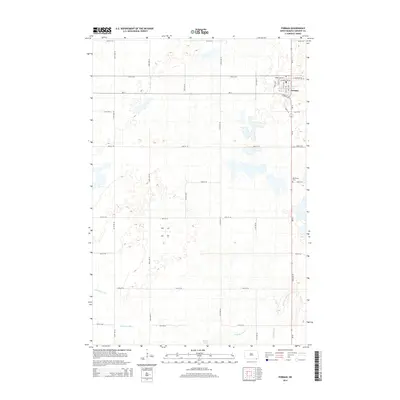
2014 Map of Forman
USGS Topo · Published 2014About this map
Forman serves as the focal point of this Sargent County landscape, situated at the intersection of ND-11 and ND-32. The town's grid is clearly defined by local thoroughfares such as Maple Ave SW and Antelope Ave SW, representing the primary residential and commercial hub for the surrounding agricultural prairie. To the south of the main settlement lies the Old Trinity Cem, a significant site for local genealogical research and community history.
Find a feature on this map
32 named features on this map. Tap any name to fly to it.
Don’t see what you’re looking for? This feature index may not catch every label — zoom into the map to look around manually.
Map Details
Editions of this 2014 Forman Map
This is the sole edition of this map. No revisions or reprints were ever made.
Other maps of this area

1953 · Kidder
USGS Topo · 1:24,000

1953 · Newark
USGS Topo · 1:24,000

1953 · Milbank
USGS Topo · 1:250,000

1953 · Fargo
USGS Topo · 1:250,000

1956 · Fargo
USGS Topo · 1:250,000

1956 · Havana
USGS Topo · 1:24,000

1957 · Stirum
USGS Topo · 1:24,000

1957 · Cogswell
USGS Topo · 1:24,000

1958 · Milbank
USGS Topo · 1:250,000

1958 · Rutland
USGS Topo · 1:24,000