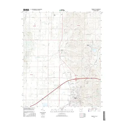
2017 Map of Forrest City
USGS Topo · Published 2017About this map
Forrest City and its surrounding communities are positioned along the distinct geological rise of Crowley Ridge, a landmark that breaks the flat alluvial plains of the Arkansas Delta. This 2017 survey details the urban layout of the county seat, showing its relationship with the Union Pacific RR and the network of waterways including Little Telico Cr and Crow Creek. To the north, the smaller settlements of Caldwell and Colt appear alongside the Delta Regional Airport.
Find a feature on this map
134 named features on this map. Tap any name to fly to it.
Don’t see what you’re looking for? This feature index may not catch every label — zoom into the map to look around manually.
Map Details
Editions of this 2017 Forrest City Map
This is the sole edition of this map. No revisions or reprints were ever made.
Other maps of this area

1939 · Park Place
USGS Topo · 1:62,500

1939 · Wynne
USGS Topo · 1:62,500

1940 · Whitmore
USGS Topo · 1:62,500

1940 · Marianna
USGS Topo · 1:62,500

1948 · Helena
USGS Topo · 1:250,000

1950 · Helena
USGS Topo · 1:250,000

1953 · Memphis
USGS Topo · 1:250,000

1955 · Park Place
USGS Topo · 1:62,500

1955 · Helena
USGS Topo · 1:250,000

1956 · Memphis
USGS Topo · 1:250,000