2024 Map of Forrest City
USGS Topo · Published 2024About this map
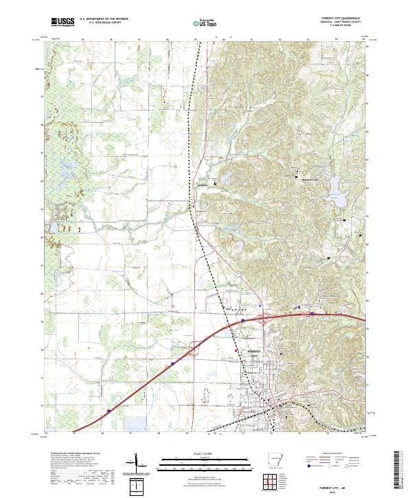
Forrest City serves as the focal point of this Arkansas landscape, where the flatlands of the Mississippi Delta meet the distinctive rising elevation of Crowleys Ridge. This geographic divide is clearly marked by the drainage patterns of Little Telico Creek and Big Telico Creek flowing westward toward the L'Anguille River, while other streams like Crow Creek cut through the ridge to the east. The map documents the developed core of the county seat, featuring the Saint Francis County Courthouse and the sprawling campus of East Arkansas Community College. Surrounding the urban center, smaller settlements like Caldwell and residential areas such as Meadow Cliff are visible. The area is also notable for its numerous family and community burial grounds, including the Beazley Family Cem, Goodloe Cem, and Brown Cem, providing a detailed record for genealogical research in St. Francis County.
Find a feature on this map
134 named features on this map. Tap any name to fly to it.
Don’t see what you’re looking for? This feature index may not catch every label — zoom into the map to look around manually.
Map Details
Editions of this 2024 Forrest City Map
This is the sole edition of this map. No revisions or reprints were ever made.
