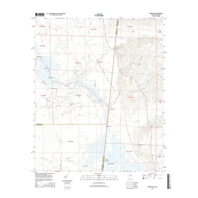
2015 Map of Forreston
USGS Topo · Published 2015About this map
The Mississippi-Alabama border country near Pickensville is defined by the complex water system of Aliceville Lake, where the Tombigbee River landscape is marked by numerous bars and bluffs. The community of Forreston sits north of the lake, while Union Bluff overlooks the western reaches of the water near where Nash Cr and Kincaide Cr converge. This area reflects a long history of rural settlement, evidenced by a high density of family and community burial grounds including Brookshire Cem, Mount Olive Cem, and Oak Ridge Cem.
Find a feature on this map
62 named features on this map. Tap any name to fly to it.
Don’t see what you’re looking for? This feature index may not catch every label — zoom into the map to look around manually.
Map Details
Editions of this 2015 Forreston Map
This is the sole edition of this map. No revisions or reprints were ever made.
Other maps of this area

1953 · West Point
USGS Topo · 1:250,000

1958 · West Point
USGS Topo · 1:250,000

1960 · Columbus
USGS Topo · 1:62,500

1963 · West Point
USGS Topo · 1:250,000

1966 · Ethelsville
USGS Topo · 1:24,000

1966 · Reform SW
USGS Topo · 1:24,000

1970 · Aliceville North
USGS Topo · 1:24,000

1973 · Cliftonville
USGS Topo · 1:24,000
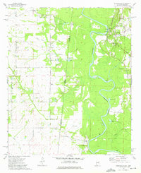
1974 · Pickensville
USGS Topo · 1:24,000

1984 · West Point
USGS Topo · 1:250,000