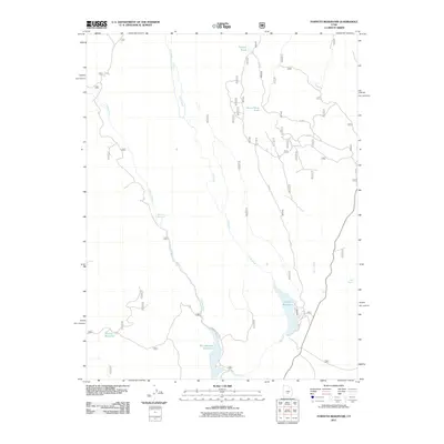
2011 Map of Forsyth Reservoir
USGS Topo · Published 2011About this map
Forsyth Reservoir and the adjacent Mill Meadow Reservoir dominate the lower elevations of this 2011 survey in Sevier County. The landscape is defined by the high-altitude water management systems of the Fishlake National Forest, where the Fremont River and U M Creek converge. The intricate network of Forest Service roads, including F S 018 and Fremont River Rd, provides access to remote water sources like Mamoits Spring and Deer Spring. Smaller impoundments such as Tidwell Pond, Snow Fence Pond, and Spring Reservoir are scattered throughout the northern and western sections of the quadrangle. These features illustrate the vital role of riparian corridors and artificial catchments in supporting local land use and ecological stability within the high plateau region of central Utah.
Find a feature on this map
15 named features on this map. Tap any name to fly to it.
Don’t see what you’re looking for? This feature index may not catch every label — zoom into the map to look around manually.
Map Details
Editions of this 2011 Forsyth Reservoir Map
This is the sole edition of this map. No revisions or reprints were ever made.
Other maps of this area

1885 · Fish Lake
USGS Topo · 1:250,000

1896 · Fish Lake
USGS Topo · 1:250,000

1922 · Emery No.3
USGS Topo · 1:31,680

1952 · Notom 2 NW
USGS Topo · 1:24,000

1952 · Torrey
USGS Topo · 1:62,500

1952 · Loa 1 NE
USGS Topo · 1:24,000

1956 · Salina
USGS Topo · 1:250,000

1960 · Salina
USGS Topo · 1:250,000

1962 · Salina
USGS Topo · 1:250,000

1967 · Lyman
USGS Topo · 1:24,000