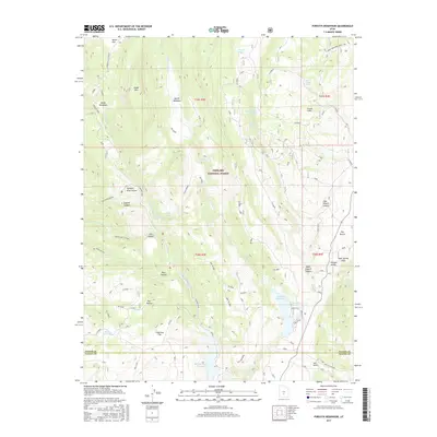
2017 Map of Forsyth Reservoir
USGS Topo · Published 2017About this map
Fishlake National Forest defines the character of this high-elevation landscape in south-central Utah, where the headwaters of the Fremont River cut through complex canyon systems. The interaction between water management and the arid environment is evident in the presence of Forsyth Reservoir, Mill Meadow Reservoir, and Spring Reservoir, which serve as vital catchments in this drainage basin. The map detail highlights the traditional transition from water-rich meadows like Danish Meadows and Zedds Meadows to the steeper, named elevations of Zedds Mtn and Tidwell Slopes.
Find a feature on this map
50 named features on this map. Tap any name to fly to it.
Don’t see what you’re looking for? This feature index may not catch every label — zoom into the map to look around manually.
Map Details
Editions of this 2017 Forsyth Reservoir Map
This is the sole edition of this map. No revisions or reprints were ever made.
Other maps of this area

1885 · Fish Lake
USGS Topo · 1:250,000

1896 · Fish Lake
USGS Topo · 1:250,000

1922 · Emery No.3
USGS Topo · 1:31,680

1952 · Notom 2 NW
USGS Topo · 1:24,000

1952 · Torrey
USGS Topo · 1:62,500

1952 · Loa 1 NE
USGS Topo · 1:24,000

1956 · Salina
USGS Topo · 1:250,000

1960 · Salina
USGS Topo · 1:250,000

1962 · Salina
USGS Topo · 1:250,000

1967 · Lyman
USGS Topo · 1:24,000