
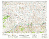
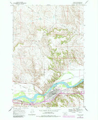
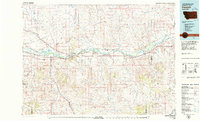
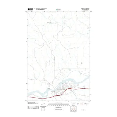
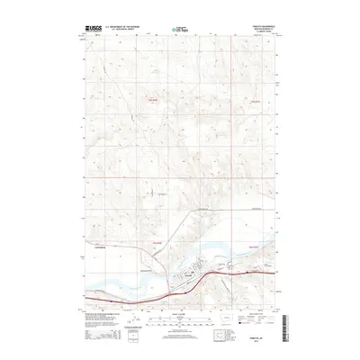
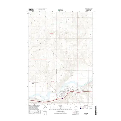
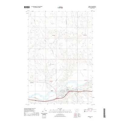
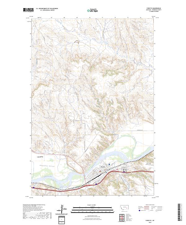
1983 Map of Forsyth
USGS Topo · Published 1983About this map
The Yellowstone River and the Burlington Northern railroad form the primary east-west corridor of this 1983 survey, anchoring a network of small ranching and rail settlements across Rosebud and Treasure Counties. The map reveals a landscape defined by dramatic geological breaks such as Gumbo Ridge and Rattlesnake Buttes, giving way to the productive grounds of Mission Valley and Sevenmile Flat.
Find a feature on this map
89 named features on this map. Tap any name to fly to it.
Don’t see what you’re looking for? This feature index may not catch every label — zoom into the map to look around manually.
Map Details
Editions of this 1983 Forsyth Map
This is the sole edition of this map. No revisions or reprints were ever made.
Historical Maps of Forsyth Through Time
11 maps found
1954 Forsyth
Rosebud County, MT

1957 Forsyth
Rosebud County, MT

1958 Forsyth
Rosebud County, MT
1968 Forsyth
Rosebud County, MT
1979 Forsyth
Rosebud County, MT
1983 Forsyth
Rosebud County, MT
2011 Forsyth
Rosebud County, MT
2014 Forsyth
Rosebud County, MT
2017 Forsyth
Rosebud County, MT
2020 Forsyth
Rosebud County, MT
2024 Forsyth
Rosebud County, MT