Loading...
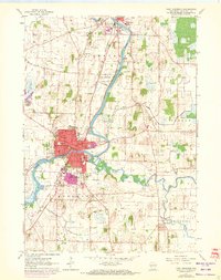
Loading map...1961 Map of Fort Atkinson
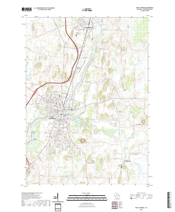
USGS Topo · Published 1972About this map
Fort Atkinson sits at the confluence of the Rock River and Bark River, serving as a central hub of activity in Jefferson County. This mid-century view, updated with 1971 aerial data, reveals the growth of the urban center and its surrounding townships of Koshkonong and Jefferson. The landscape is defined by the Chicago and North Western railroad line and a series of educational and civic institutions, including the Vocational Sch and St Josephs Sch.
Find a feature on this map
41 named features on this map. Tap any name to fly to it.
Don’t see what you’re looking for? This feature index may not catch every label — zoom into the map to look around manually.
Map Details
Date Portrayed1961
Date Published1972
PublisherU.S. Geological Survey
Map TypeTopographic
Scale1:24,000
Physical Dimensions21.56 x 27.25 inches
Editions of this 1961 Fort Atkinson Map
2 editions found
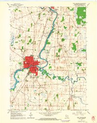
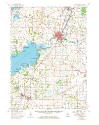
Historical Maps of Fort Atkinson Through Time
3 maps found
Featured Locations
Source Details
SourceU.S. Geological Survey
CopyrightPublic Domain